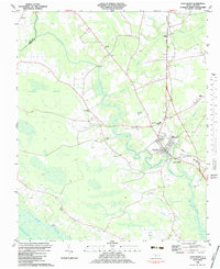
2022 Map of Vanceboro
USGS Topo · Published 2022About this map
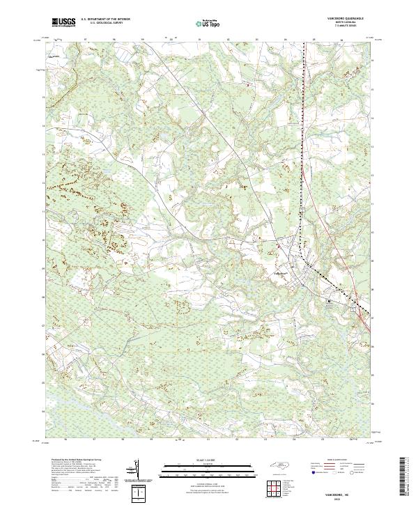
Vanceboro serves as the primary hub in this coastal plain landscape, where the town grid transitions into a network of rural roads and expansive wetlands. The area is defined by its complex drainage systems, with Swift Creek winding through the center and the broad Neuse River skirting the southern boundary. This environment created a specific settlement pattern where communities like Clayroot developed on slightly higher ground, separated by significant wetland features such as Baybush Swamp and Mauls Swamp. Local landmarks include the Celestial Memorial Gardens and the Po in Vanceboro, reflecting the long-standing civic and social infrastructure of this portion of eastern North Carolina. Researchers can trace historical property lines and local navigation through the numerous named local roads, including Old Washington Rd and Streets Ferry Rd, which connect the scattered farms and homesteads across the Pitt and Craven county line.
Find a feature on this map
57 named features on this map. Tap any name to fly to it.
Don’t see what you’re looking for? This feature index may not catch every label — zoom into the map to look around manually.
Map Details
Editions of this 2022 Vanceboro Map
This is the sole edition of this map. No revisions or reprints were ever made.
Historical Maps of Vanceboro Through Time
5 maps found