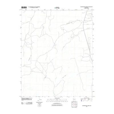
2010 Map of Vanderwagen Draw
USGS Topo · Published 2010About this map
Vanderwagen Draw defines this high-desert landscape in the Eastern Navajo Agency, where ephemeral watercourses carve through the arid terrain. The 2010 topography reveals a network of drainage systems, most notably Bosson Wash, which meanders across the central and western portions of the quadrangle. High points like Dubois Hill and the incisions of White Canyon provide significant vertical relief in an otherwise expansive plateau.
Find a feature on this map
17 named features on this map. Tap any name to fly to it.
Don’t see what you’re looking for? This feature index may not catch every label — zoom into the map to look around manually.
Map Details
Editions of this 2010 Vanderwagen Draw Map
This is the sole edition of this map. No revisions or reprints were ever made.
Other maps of this area

1886 · Wingate
USGS Topo · 1:250,000

1892 · Wingate
USGS Topo · 1:250,000

1954 · Gallup
USGS Topo · 1:250,000

1958 · Gallup
USGS Topo · 1:250,000

1959 · Gallup
USGS Topo · 1:250,000

1962 · Gallup
USGS Topo · 1:250,000

1963 · Jones Ranch School
USGS Topo · 1:24,000

1963 · Pinehaven
USGS Topo · 1:24,000
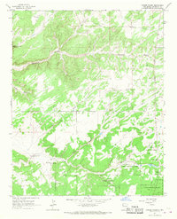
1963 · Vander Wagen
USGS Topo · 1:24,000

1967 · Gallup
USGS Topo · 1:250,000