
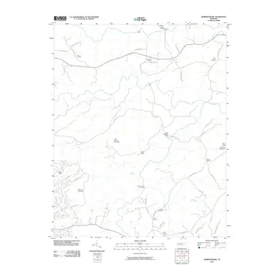
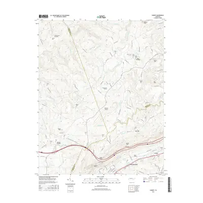
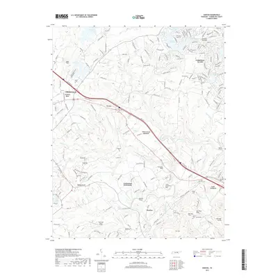
2022 Map of Vandever
USGS Topo · Published 2022About this map
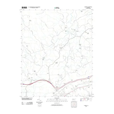
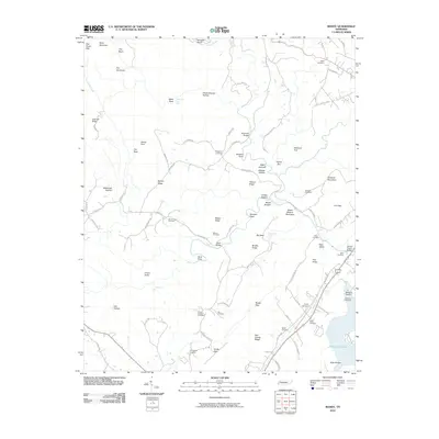
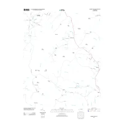
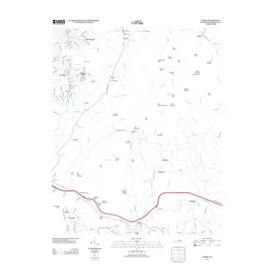
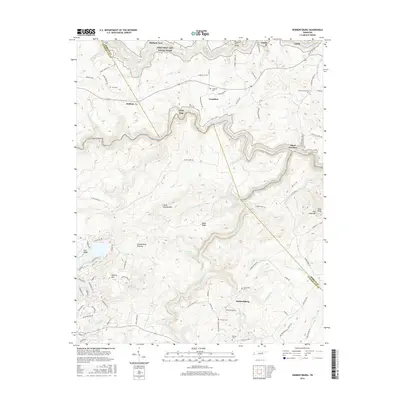
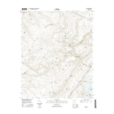
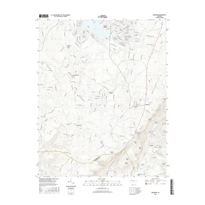
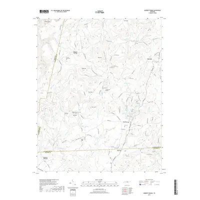
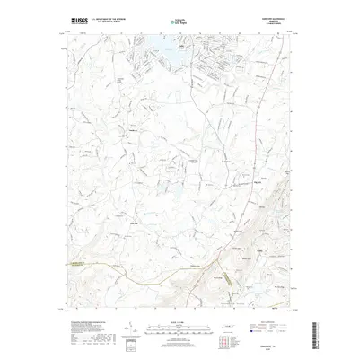
The Tennessee Valley Divide snakes across the high terrain of the Cumberland Plateau, separating the headwaters that flow toward the Tennessee and Cumberland basins. This 2022 survey captures a rural landscape where family history is deeply etched into the topography of Cumberland CO and Bledsoe County. The area around Vandever and Big Lick is notable for its high density of family burial grounds, including the Perry Cem, Hale Cem, and Houston Cem, many situated near small community nodes like New Era. In the north, the modern residential layout surrounding Lake Tansi contrasts with the traditional rural patterns found further south near the Sequatchie Valley. This transition is marked by geological breaks such as Stephens Gap and Parham Gap, which have long dictated the movement of people and commerce through the ridges. The presence of named springs like Stacy Spring and Carding Machine Spring points to the essential water sources that once anchored early mountain homesteads.
Find a feature on this map
219 named features on this map. Tap any name to fly to it.
Don’t see what you’re looking for? This feature index may not catch every label — zoom into the map to look around manually.
Map Details
Editions of this 2022 Vandever Map
This is the sole edition of this map. No revisions or reprints were ever made.
Historical Maps of Burke Through Time
93 maps found

1924 Lillydale
Cumberland County, TN

1926 Lillydale
Cumberland County, TN

1929 Lillydale
Cumberland County, TN

1935 Campbell Junction
Cumberland County, TN

1935 Isoline
Cumberland County, TN

1935 Vandever
Cumberland County, TN

1936 Cardiff
Cumberland County, TN

1936 Dorton
Cumberland County, TN

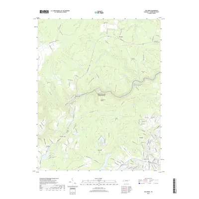
1936 Fox Creek
Cumberland County, TN

1936 Grassy Cove
Cumberland County, TN

1936 Hebbertsburg
Cumberland County, TN

1936 Ozone
Cumberland County, TN

1936 Roddy
Cumberland County, TN

1943 Hebbertsburg
Cumberland County, TN

1945 Hebbertsburg
Cumberland County, TN

1946 Campbell Junction
Cumberland County, TN

1946 Cardiff
Cumberland County, TN

1946 Dorton
Cumberland County, TN

1946 Fox Creek
Cumberland County, TN

1946 Grassy Cove
Cumberland County, TN

1946 Isoline
Cumberland County, TN

1946 Ozone
Cumberland County, TN

1946 Roddy
Cumberland County, TN

1947 Roddy
Cumberland County, TN

1949 Cardiff
Cumberland County, TN

1949 Dorton
Cumberland County, TN

1949 Fox Creek
Cumberland County, TN

1949 Grassy Cove
Cumberland County, TN

1949 Isoline
Cumberland County, TN

1949 Ozone
Cumberland County, TN

1950 Campbell Junction
Cumberland County, TN

1952 Cardiff
Cumberland County, TN

1956 Herbert Domain
Cumberland County, TN

1956 Vandever
Cumberland County, TN

1968 Cardiff
Cumberland County, TN

1973 Grassy Cove
Cumberland County, TN

1973 Roddy
Cumberland County, TN

1983 Vandever
Cumberland County, TN

2010 Campbell Junction
Cumberland County, TN
2010 Cardiff
Cumberland County, TN
2010 Dorton
Cumberland County, TN
2010 Fox Creek
Cumberland County, TN
2010 Grassy Cove
Cumberland County, TN
2010 Hebbertsburg
Cumberland County, TN
2010 Herbert Domain
Cumberland County, TN
2010 Isoline
Cumberland County, TN
2010 Ozone
Cumberland County, TN
2010 Roddy
Cumberland County, TN

2010 Vandever
Cumberland County, TN

2013 Campbell Junction
Cumberland County, TN
2013 Cardiff
Cumberland County, TN
2013 Dorton
Cumberland County, TN
2013 Fox Creek
Cumberland County, TN
2013 Grassy Cove
Cumberland County, TN
2013 Hebbertsburg
Cumberland County, TN
2013 Herbert Domain
Cumberland County, TN
2013 Isoline
Cumberland County, TN
2013 Ozone
Cumberland County, TN
2013 Roddy
Cumberland County, TN
2013 Vandever
Cumberland County, TN
2016 Campbell Junction
Cumberland County, TN
2016 Cardiff
Cumberland County, TN
2016 Dorton
Cumberland County, TN
2016 Fox Creek
Cumberland County, TN
2016 Grassy Cove
Cumberland County, TN
2016 Hebbertsburg
Cumberland County, TN
2016 Herbert Domain
Cumberland County, TN
2016 Isoline
Cumberland County, TN
2016 Ozone
Cumberland County, TN
2016 Roddy
Cumberland County, TN
2016 Vandever
Cumberland County, TN
2019 Campbell Junction
Cumberland County, TN
2019 Cardiff
Cumberland County, TN
2019 Dorton
Cumberland County, TN
2019 Fox Creek
Cumberland County, TN
2019 Grassy Cove
Cumberland County, TN
2019 Hebbertsburg
Cumberland County, TN
2019 Herbert Domain
Cumberland County, TN
2019 Isoline
Cumberland County, TN
2019 Ozone
Cumberland County, TN
2019 Roddy
Cumberland County, TN
2019 Vandever
Cumberland County, TN

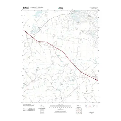
2022 Campbell Junction
Cumberland County, TN

2022 Cardiff
Cumberland County, TN

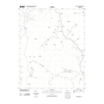
2022 Dorton
Cumberland County, TN

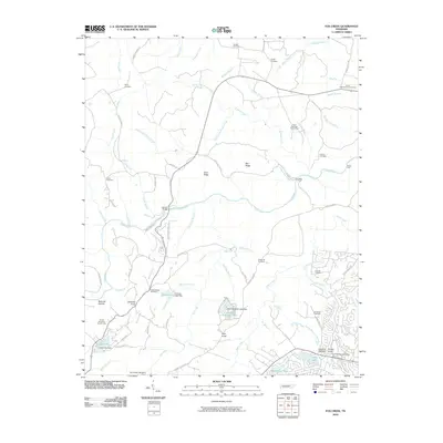
2022 Fox Creek
Cumberland County, TN

2022 Grassy Cove
Cumberland County, TN

2022 Hebbertsburg
Cumberland County, TN

2022 Herbert Domain
Cumberland County, TN

2022 Isoline
Cumberland County, TN

2022 Ozone
Cumberland County, TN

2022 Roddy
Cumberland County, TN
2022 Vandever
Cumberland County, TN