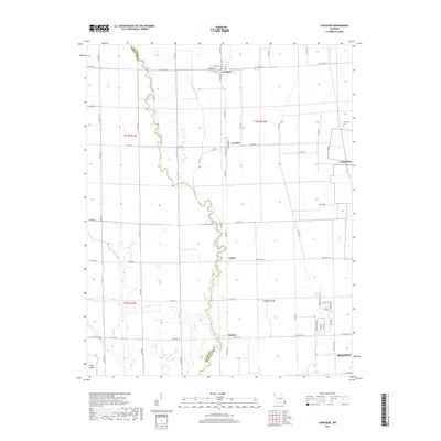
2017 Map of Vanduser
USGS Topo · Published 2017About this map
Little River and its meandering channel define the boundary between Scott and Stoddard counties in this agricultural region of southeast Missouri. The landscape is marked by a systematic grid of section lines and county roads, reflecting the reclamation and intensive farming of the Bootheel. Small rural hubs such as Vanduser and Crowder serve the surrounding farmland, while the northern edge of Sikeston appears at the bottom of the map, indicating the transition from open fields to the city's residential outskirts.
Find a feature on this map
67 named features on this map. Tap any name to fly to it.
Don’t see what you’re looking for? This feature index may not catch every label — zoom into the map to look around manually.
Map Details
Editions of this 2017 Vanduser Map
This is the sole edition of this map. No revisions or reprints were ever made.
Other maps of this area

1931 · Sikeston
USGS Topo · 1:62,500

1934 · Morley
USGS Topo · 1:62,500

1934 · Bloomfield
USGS Topo · 1:62,500

1934 · Sikeston
USGS Topo · 1:62,500

1934 · Advance
USGS Topo · 1:62,500

1939 · Bloomfield
USGS Topo · 1:62,500

1939 · Sikeston
USGS Topo · 1:62,500

1939 · Morley
USGS Topo · 1:62,500

1939 · Advance
USGS Topo · 1:62,500

1949 · Paducah
USGS Topo · 1:250,000