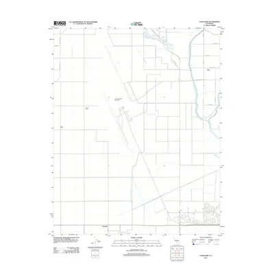
2012 Map of Vanguard
USGS Topo · Published 2012About this map
Lemoore Naval Air Station dominates this Central Valley landscape, its massive runways and military infrastructure carved out of the flat agricultural grid of Kings County. The surrounding territory is defined by a strict network of numbered and named roads, such as Grangeville Blvd and Lacey Blvd, which connect various family-held agricultural holdings. These rural estates include the Barlow Ranch, Double O Ranch, and Polder Ranch, illustrating the industrial scale of California farming in the early 21st century.
Find a feature on this map
21 named features on this map. Tap any name to fly to it.
Don’t see what you’re looking for? This feature index may not catch every label — zoom into the map to look around manually.
Map Details
Editions of this 2012 Vanguard Map
This is the sole edition of this map. No revisions or reprints were ever made.
Other maps of this area

1912 · Coalinga
USGS Topo · 1:125,000

1924 · Riverdale
USGS Topo · 1:31,680

1926 · Lethent
USGS Topo · 1:31,680

1927 · Burrel
USGS Topo · 1:31,680

1927 · Riverdale
USGS Topo · 1:31,680

1927 · Lemoore
USGS Topo · 1:31,680

1929 · Stratford
USGS Topo · 1:31,680

1929 · Westhaven
USGS Topo · 1:31,680

1931 · Wheatville
USGS Topo · 1:31,680

1932 · West of Lethent
USGS Topo · 1:31,680