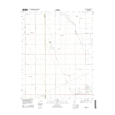
2015 Map of Vanguard
USGS Topo · Published 2015About this map
The agricultural and military landscape of the San Joaquin Valley defines this region along the boundary of Fresno and Kings Counties. Central to the map is the Lemoore Naval Air Station (Reeves Field), showing the specialized road network of Skytrain Ave and Skymaster Ave that serves the airfield. The settlement of Vanguard sits in the southern portion of the sheet, surrounded by a grid of rural avenues that facilitate the area's intensive irrigation. Water management is a primary feature of the terrain, with the North Fork Kings River and Clarks Fork Kings River flowing through the eastern section. These natural waterways are supplemented by the Main Island Canal and the winding paths of Boggs Slough and Fault Slough, illustrating the complex drainage and water distribution systems required for the valley's productivity.
Find a feature on this map
57 named features on this map. Tap any name to fly to it.
Don’t see what you’re looking for? This feature index may not catch every label — zoom into the map to look around manually.
Map Details
Editions of this 2015 Vanguard Map
This is the sole edition of this map. No revisions or reprints were ever made.
Other maps of this area

1912 · Coalinga
USGS Topo · 1:125,000

1924 · Riverdale
USGS Topo · 1:31,680

1926 · Lethent
USGS Topo · 1:31,680

1927 · Burrel
USGS Topo · 1:31,680

1927 · Riverdale
USGS Topo · 1:31,680

1927 · Lemoore
USGS Topo · 1:31,680

1929 · Stratford
USGS Topo · 1:31,680

1929 · Westhaven
USGS Topo · 1:31,680

1931 · Wheatville
USGS Topo · 1:31,680

1932 · West of Lethent
USGS Topo · 1:31,680