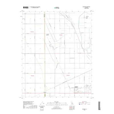
2018 Map of Vanguard
USGS Topo · Published 2018About this map
The sprawling operations of Lemoore Naval Air Station (Reeves Field) dominate this section of the San Joaquin Valley, showing the vast layout of the military installation in the years preceding its 2018 survey. The base and the adjacent Lemoore Station form a distinct industrial and residential hub, with specialized street names like Skymaster Ave and Skytrain Ave reflecting the site's aviation mission.
Find a feature on this map
54 named features on this map. Tap any name to fly to it.
Don’t see what you’re looking for? This feature index may not catch every label — zoom into the map to look around manually.
Map Details
Editions of this 2018 Vanguard Map
This is the sole edition of this map. No revisions or reprints were ever made.
Other maps of this area

1912 · Coalinga
USGS Topo · 1:125,000

1924 · Riverdale
USGS Topo · 1:31,680

1926 · Lethent
USGS Topo · 1:31,680

1927 · Burrel
USGS Topo · 1:31,680

1927 · Riverdale
USGS Topo · 1:31,680

1927 · Lemoore
USGS Topo · 1:31,680

1929 · Stratford
USGS Topo · 1:31,680

1929 · Westhaven
USGS Topo · 1:31,680

1931 · Wheatville
USGS Topo · 1:31,680

1932 · West of Lethent
USGS Topo · 1:31,680