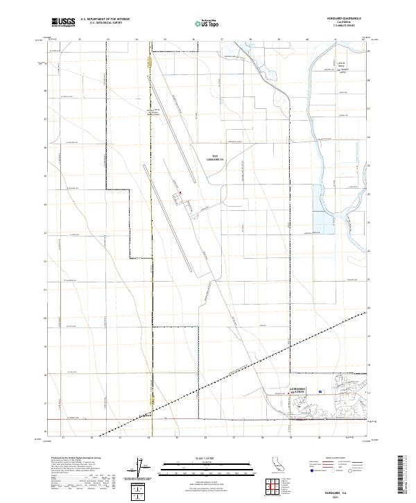
2021 Map of Vanguard
USGS Topo · Published 2021About this map
The Lemoore Naval Air Station (Reeves Field) dominates this portion of the San Joaquin Valley, illustrating the intersection of military infrastructure and agricultural life in the Central Valley. This landscape is defined by the massive footprint of the air station, including Lemoore Station, juxtaposed against the irrigated geometry of the surrounding farmland. The Fresno Co and Kings Co border bisects the western half of the map, where the small settlement of Vanguard sits along the southern edge. Hydrology in this region is heavily managed, featuring the North Fork Kings River, the Clarks Fork Kings River, and engineered waterways like the Main Island Canal. Smaller water features such as Boggs Slough and Faull Slough remind of the area's natural drainage before the extensive development of the irrigation network.
Find a feature on this map
64 named features on this map. Tap any name to fly to it.
Don’t see what you’re looking for? This feature index may not catch every label — zoom into the map to look around manually.
Map Details
Editions of this 2021 Vanguard Map
This is the sole edition of this map. No revisions or reprints were ever made.
Other maps of this area

1912 · Coalinga
USGS Topo · 1:125,000

1924 · Riverdale
USGS Topo · 1:31,680

1926 · Lethent
USGS Topo · 1:31,680

1927 · Burrel
USGS Topo · 1:31,680

1927 · Riverdale
USGS Topo · 1:31,680

1927 · Lemoore
USGS Topo · 1:31,680

1929 · Stratford
USGS Topo · 1:31,680

1929 · Westhaven
USGS Topo · 1:31,680

1931 · Wheatville
USGS Topo · 1:31,680

1932 · West of Lethent
USGS Topo · 1:31,680