
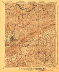
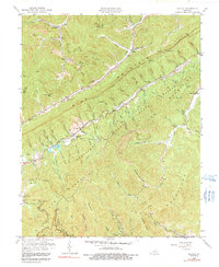
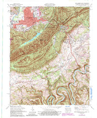
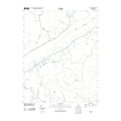
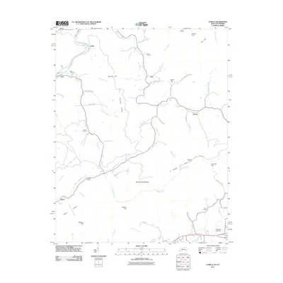
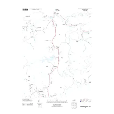
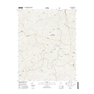
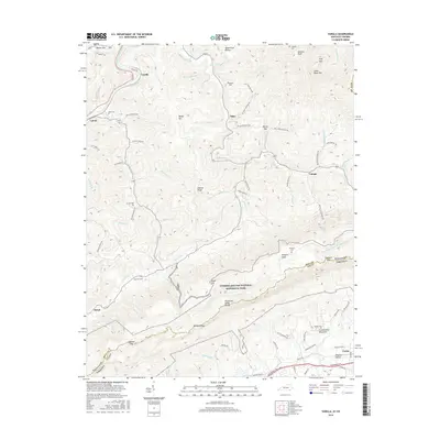
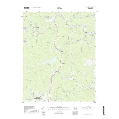
1935 Map of Varilla
USGS Topo · Published 1935About this map
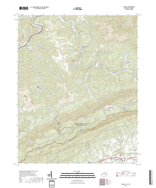
Cumberland Mountain forms the defining ridge of this 1930s landscape, serving as the border between Kentucky and Virginia. Along the southern slopes, small rural communities like Elydale and Bethany are connected by the Louisville and Nashville railroad and the Old Highway. This survey captures a specific social geography where public life centered around institutions like Woodvine Sch, Mountain View Ch, and Ely Cem.
Find a feature on this map
31 named features on this map. Tap any name to fly to it.
Don’t see what you’re looking for? This feature index may not catch every label — zoom into the map to look around manually.
Map Details
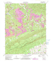
Editions of this 1935 Varilla Map
This is the sole edition of this map. No revisions or reprints were ever made.
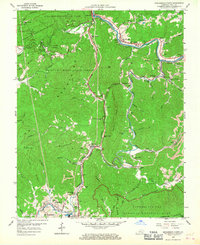
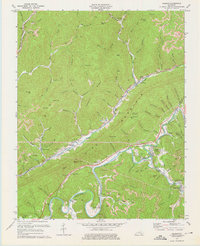
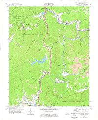
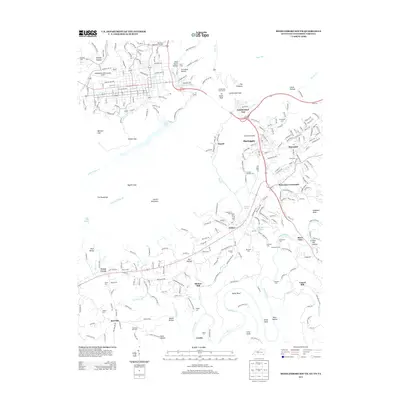
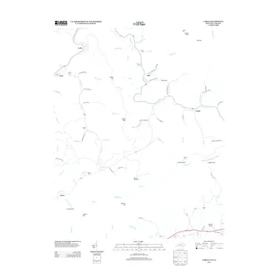
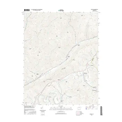
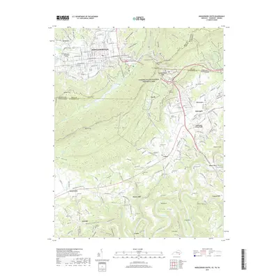
Historical Maps of Cubage Through Time
49 maps found

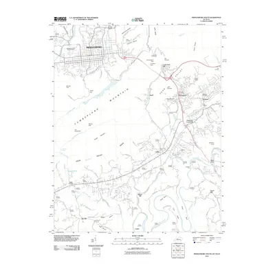
1903 Middlesboro
Bell County, KY

1927 Middlesboro
Bell County, KY
1930 Middlesboro
Bell County, KY
1935 Varilla
Bell County, KY

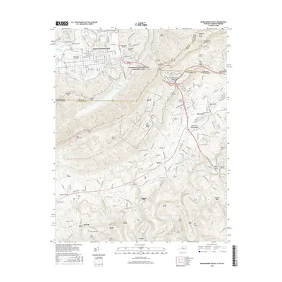
1952 Davisburg
Bell County, KY
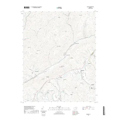
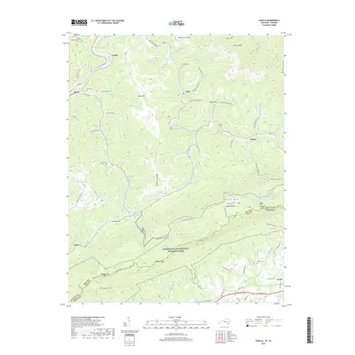
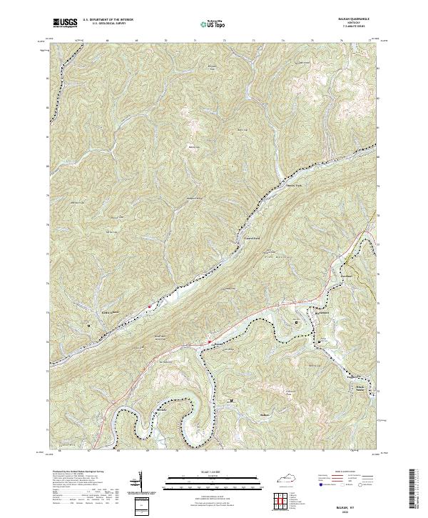
1954 Balkan
Bell County, KY
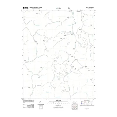
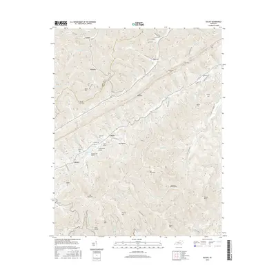
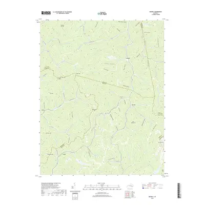
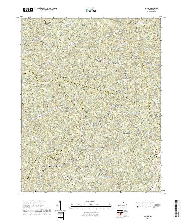
1954 Beverly
Bell County, KY

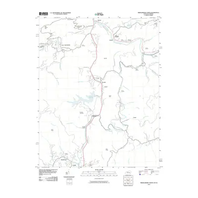
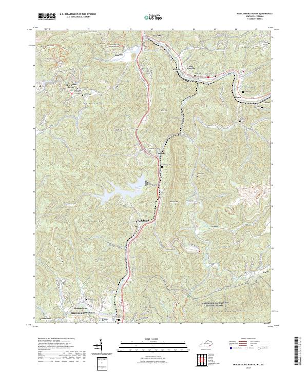
1954 Middlesboro North
Bell County, KY
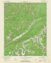
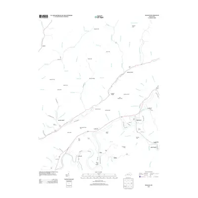
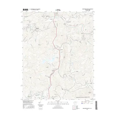
1954 Varilla
Bell County, KY
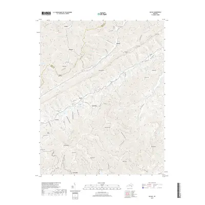
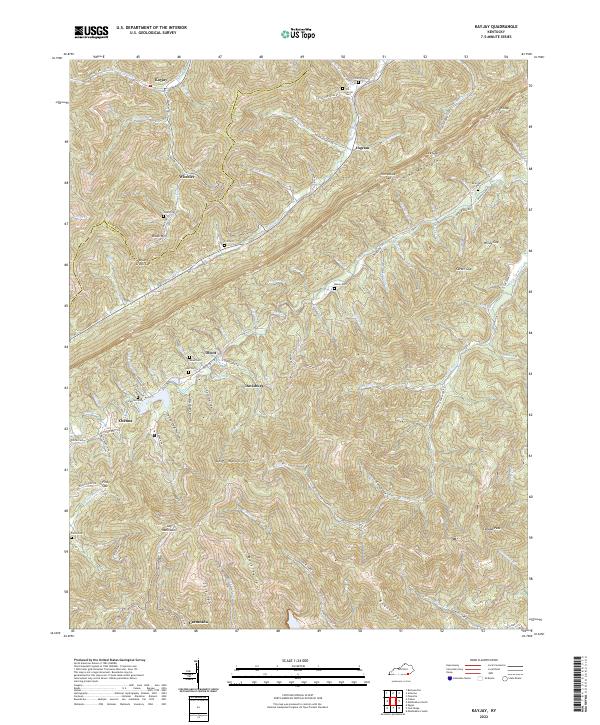
1959 Kayjay
Bell County, KY
1959 Middlesboro North
Bell County, KY
1974 Balkan
Bell County, KY
1974 Middlesboro North
Bell County, KY
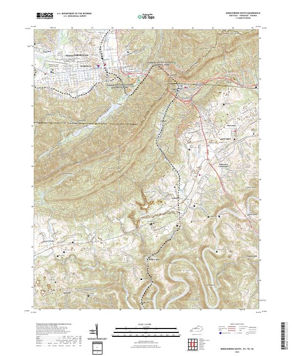
1974 Middlesboro South
Bell County, KY
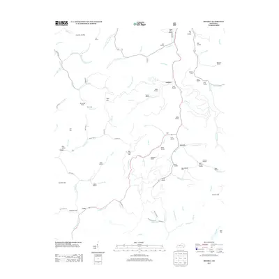
1974 Varilla
Bell County, KY
1976 Middlesboro North
Bell County, KY

1976 Middlesboro South
Bell County, KY

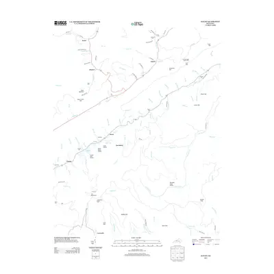
1976 Varilla
Bell County, KY

1979 Beverly
Bell County, KY
2010 Balkan
Bell County, KY
2010 Kayjay
Bell County, KY
2010 Middlesboro North
Bell County, KY
2010 Middlesboro South
Bell County, KY
2011 Beverly
Bell County, KY
2011 Varilla
Bell County, KY
2013 Balkan
Bell County, KY
2013 Beverly
Bell County, KY
2013 Kayjay
Bell County, KY
2013 Middlesboro North
Bell County, KY
2013 Middlesboro South
Bell County, KY
2013 Varilla
Bell County, KY
2016 Balkan
Bell County, KY
2016 Beverly
Bell County, KY
2016 Kayjay
Bell County, KY
2016 Middlesboro North
Bell County, KY
2016 Middlesboro South
Bell County, KY
2016 Varilla
Bell County, KY
2019 Balkan
Bell County, KY
2019 Beverly
Bell County, KY
2019 Kayjay
Bell County, KY
2019 Middlesboro North
Bell County, KY
2019 Middlesboro South
Bell County, KY
2019 Varilla
Bell County, KY
2022 Balkan
Bell County, KY
2022 Beverly
Bell County, KY
2022 Kayjay
Bell County, KY
2022 Middlesboro North
Bell County, KY
2022 Middlesboro South
Bell County, KY
2022 Varilla
Bell County, KY