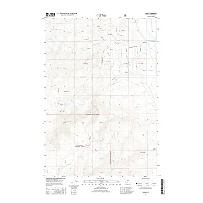
2014 Map of Varney
USGS Topo · Published 2014About this map
The Madison River flows through the eastern edge of this landscape, where the small settlement of Varney and the Varney Bridge serve as focal points for the local valley geography. To the west, the terrain rises into the Beaverhead National Forest, a region defined by an intricate network of named trails and high-elevation water bodies. Notable among these are Axolotl Lake, Twin Lakes, and Reservoir Lake, along with the curiously named Doubtful Reservoir and Call Road Reservoir. This area is characterized by a high density of specialized forest routes, such as Cow Camp Trl, Stage Coach Trl, and Halo Loop Trl, which navigate the complex ridges and gulches. The drainage systems of Blaine Spring Creek and Wigwam Creek further define the rugged topography, suggesting a landscape managed for both timber and recreation in the early 21st century.
Find a feature on this map
70 named features on this map. Tap any name to fly to it.
Don’t see what you’re looking for? This feature index may not catch every label — zoom into the map to look around manually.
Map Details
Editions of this 2014 Varney Map
This is the sole edition of this map. No revisions or reprints were ever made.
Other maps of this area

1888 · Three Forks
USGS Topo · 1:250,000

1894 · Three Forks
USGS Topo · 1:250,000

1895 · Three Forks
USGS Topo · 1:250,000

1947 · Bozeman
USGS Topo · 1:250,000

1948 · Bozeman
USGS Topo · 1:250,000

1949 · Varney
USGS Topo · 1:62,500

1949 · Ennis
USGS Topo · 1:62,500

1950 · Cameron
USGS Topo · 1:62,500

1950 · Virginia City
USGS Topo · 1:62,500

1955 · Bozeman
USGS Topo · 1:250,000