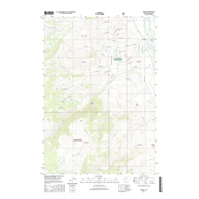
2017 Map of Varney
USGS Topo · Published 2017About this map
Madison River valley life and high-elevation grazing lands define this portion of Madison County. The small settlement of Varney serves as the primary landmark, situated where the valley floor meets the rising foothills. The landscape is characterized by its hydrological network, where the river serves as the central artery for the surrounding basin. This survey provides a clear view of the rural settlement patterns and natural drainage systems that have long supported the local agricultural and ranching economy in the shadows of the nearby mountain ranges. The detailed topography illustrates the relationship between the river corridor and the upland areas used for seasonal livestock range.
Find a feature on this map
2 named features on this map. Tap any name to fly to it.
Don’t see what you’re looking for? This feature index may not catch every label — zoom into the map to look around manually.
Map Details
Editions of this 2017 Varney Map
This is the sole edition of this map. No revisions or reprints were ever made.
Other maps of this area

1888 · Three Forks
USGS Topo · 1:250,000

1894 · Three Forks
USGS Topo · 1:250,000

1895 · Three Forks
USGS Topo · 1:250,000

1947 · Bozeman
USGS Topo · 1:250,000

1948 · Bozeman
USGS Topo · 1:250,000

1949 · Varney
USGS Topo · 1:62,500

1949 · Ennis
USGS Topo · 1:62,500

1950 · Cameron
USGS Topo · 1:62,500

1950 · Virginia City
USGS Topo · 1:62,500

1955 · Bozeman
USGS Topo · 1:250,000