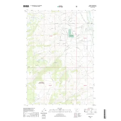
2020 Map of Varney
USGS Topo · Published 2020About this map
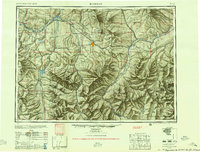
Varney sits along the Madison River corridor, serving as a focal point for this Madison County landscape characterized by water management and high-altitude terrain. The presence of the Ennis National Fish Hatchery near Blaine Spring underscores the region's historical and ongoing reliance on cold-water resources. To the west, the topography rises sharply into the Beaverhead National Forest, where a network of trails like the Halo Loop Trl and Haypress Lake Trl connect scattered alpine water bodies.
Find a feature on this map
66 named features on this map. Tap any name to fly to it.
Don’t see what you’re looking for? This feature index may not catch every label — zoom into the map to look around manually.
Map Details
Editions of this 2020 Varney Map
This is the sole edition of this map. No revisions or reprints were ever made.
Other maps of this area
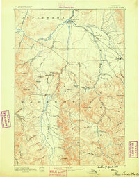
1888 · Three Forks
USGS Topo · 1:250,000
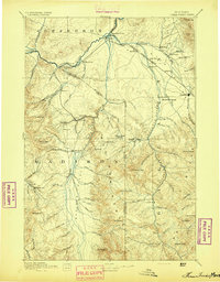
1894 · Three Forks
USGS Topo · 1:250,000
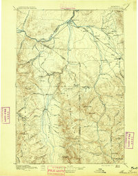
1895 · Three Forks
USGS Topo · 1:250,000

1947 · Bozeman
USGS Topo · 1:250,000

1948 · Bozeman
USGS Topo · 1:250,000
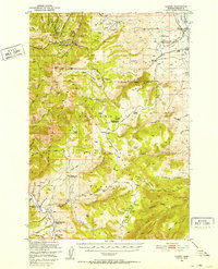
1949 · Varney
USGS Topo · 1:62,500
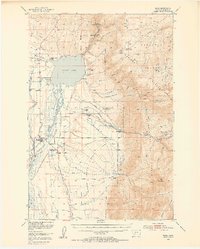
1949 · Ennis
USGS Topo · 1:62,500
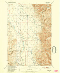
1950 · Cameron
USGS Topo · 1:62,500
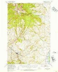
1950 · Virginia City
USGS Topo · 1:62,500
1955 · Bozeman
USGS Topo · 1:250,000