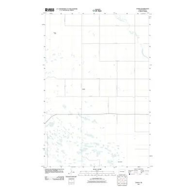
2011 Map of Vashti
USGS Topo · Published 2011About this map
Vashti sits at the heart of this Stutsman County landscape, serving as the central point for a grid of rural roads that define the region's agricultural character. The terrain is marked by the Pipestem Creek which meanders through the northeastern corner of the map, and the Brush Hills rising in the northwest. This 2011 survey documents the intricate pattern of wetlands and small prairie potholes that dot the southern half of the quadrangle, a characteristic feature of the North Dakota glaciated plains. Key landmarks such as Round Top provide distinct elevation points in an otherwise subtly rolling environment. The map details the systematic layout of rural routes, including 66th Ave SE and 15th St SE, which facilitate travel between the scattered homesteads and the settlement of Vashti.
Find a feature on this map
15 named features on this map. Tap any name to fly to it.
Don’t see what you’re looking for? This feature index may not catch every label — zoom into the map to look around manually.
Map Details
Editions of this 2011 Vashti Map
This is the sole edition of this map. No revisions or reprints were ever made.
Other maps of this area

1900 · Pingree
USGS Topo · 1:125,000

1900 · Pingree
USGS Topo · 1:62,500

1948 · Carrington
USGS Topo · 1:62,500

1950 · Melville
USGS Topo · 1:24,000

1950 · Carrington SW
USGS Topo · 1:24,000

1951 · Pingree
USGS Topo · 1:24,000

1951 · Bordulac SW
USGS Topo · 1:24,000

1952 · Pingree SW
USGS Topo · 1:24,000

1952 · New Rockford
USGS Topo · 1:250,000

1956 · New Rockford
USGS Topo · 1:250,000