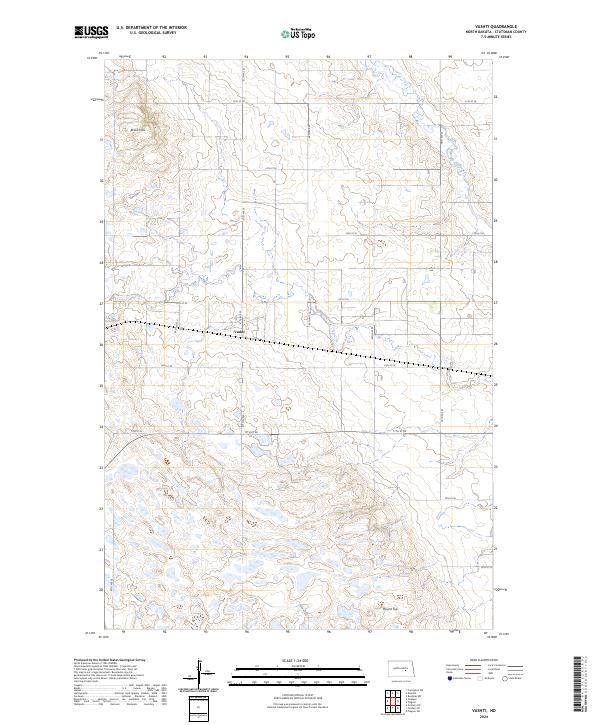
2024 Map of Vashti
USGS Topo · Published 2024About this map
Vashti sits at the center of this rural Stutsman County landscape, characterized by the undulating terrain of the Brush Hills and the prominent elevation of Round Top. The area is defined by its agricultural grid and numerous wetlands, which provide a foundation for the Stutsman County Waterfowl Production Area. This conservation land signifies the region's importance to migratory patterns and local ecology. Water flows through the eastern portion of the quadrangle along Pipestem Creek, while a network of rural roads like 15th St SE and 67th Ave SE connect the dispersed farmsteads of the Dakota plains. The survey illustrates the intersection of intensive prairie land use and dedicated environmental preservation at the start of the 2020s.
Find a feature on this map
25 named features on this map. Tap any name to fly to it.
Don’t see what you’re looking for? This feature index may not catch every label — zoom into the map to look around manually.
Map Details
Editions of this 2024 Vashti Map
This is the sole edition of this map. No revisions or reprints were ever made.
Other maps of this area

1900 · Pingree
USGS Topo · 1:125,000

1900 · Pingree
USGS Topo · 1:62,500

1948 · Carrington
USGS Topo · 1:62,500

1950 · Melville
USGS Topo · 1:24,000

1950 · Carrington SW
USGS Topo · 1:24,000

1951 · Pingree
USGS Topo · 1:24,000

1951 · Bordulac SW
USGS Topo · 1:24,000

1952 · Pingree SW
USGS Topo · 1:24,000

1952 · New Rockford
USGS Topo · 1:250,000

1956 · New Rockford
USGS Topo · 1:250,000