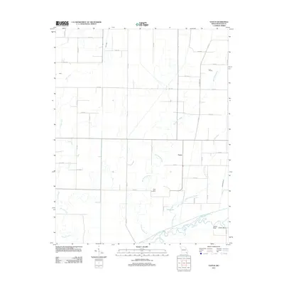
2011 Map of Vastus
USGS Topo · Published 2011About this map
Vastus and the surrounding Butler County lowlands are defined by a complex network of natural waterways and man-made drainage systems. The Black River winds across the southern edge of the landscape, creating distinct river features like Factory Bend and Chester Bend. This terrain is characterized by sluggish water bodies and wetlands, including Big Hunting Slough, Little Hunting Slough, and Allred Lake, which are interconnected by an extensive grid of drainage channels such as the Stillcamp Ditch and Ackerman Ditch.
Find a feature on this map
46 named features on this map. Tap any name to fly to it.
Don’t see what you’re looking for? This feature index may not catch every label — zoom into the map to look around manually.
Map Details
Editions of this 2011 Vastus Map
This is the sole edition of this map. No revisions or reprints were ever made.
Other maps of this area

1935 · Acorn
USGS Topo · 1:62,500

1935 · Rector
USGS Topo · 1:62,500

1935 · Knobel
USGS Topo · 1:62,500

1935 · Harviell
USGS Topo · 1:62,500

1940 · Naylor
USGS Topo · 1:62,500

1941 · Knobel
USGS Topo · 1:62,500

1944 · Naylor
USGS Topo · 1:62,500

1957 · Poplar Bluff
USGS Topo · 1:250,000

1958 · Rector
USGS Topo · 1:62,500

1959 · Poplar Bluff
USGS Topo · 1:250,000