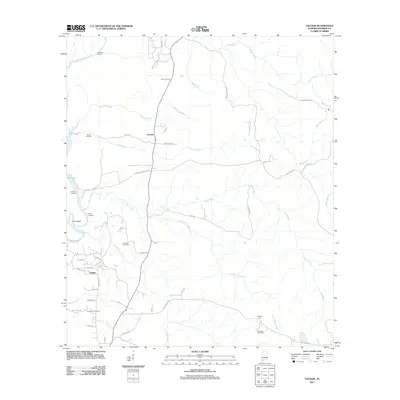
2011 Map of Vaughn
USGS Topo · Published 2011About this map
Latham and Vaughn anchor this rural Baldwin County landscape, where the meandering course of Halls Creek and Farris Creek defines the local topography. This 2011 survey illustrates a region shaped by its proximity to the water, evidenced by a series of landings along the western edge, including Old Island Landing, Nelson Landing, and Hubbard Landing near Briar Lake. These points of access suggest a long-standing reliance on riverine transport and recreation in the swampy lowlands of Coon Neck.
Find a feature on this map
58 named features on this map. Tap any name to fly to it.
Don’t see what you’re looking for? This feature index may not catch every label — zoom into the map to look around manually.
Map Details
Editions of this 2011 Vaughn Map
This is the sole edition of this map. No revisions or reprints were ever made.
Other maps of this area

1941 · Bay Minette
USGS Topo · 1:62,500

1942 · Perdido
USGS Topo · 1:62,500

1942 · Dyas
USGS Topo · 1:62,500

1943 · Bay Minette
USGS Topo · 1:62,500

1943 · Tensaw
USGS Topo · 1:62,500

1944 · Tensaw
USGS Topo · 1:62,500

1944 · Dyas
USGS Topo · 1:62,500

1944 · Perdido
USGS Topo · 1:62,500

1953 · Andalusia
USGS Topo · 1:250,000

1957 · Andalusia
USGS Topo · 1:250,000