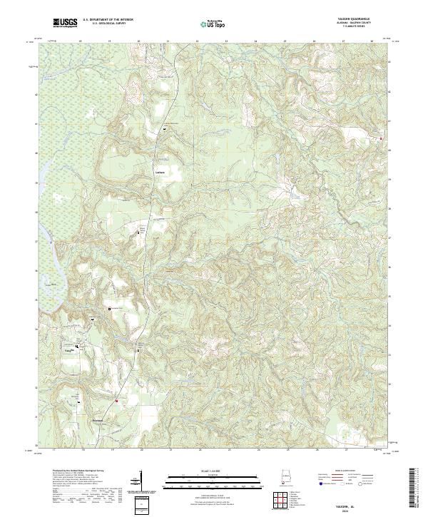
2024 Map of Vaughn
USGS Topo · Published 2024About this map
Family legacies and small rural settlements are central to this part of Baldwin County, defined by a dense network of cemeteries such as the Bryars Family Cem, Watson Family Cem, and the E M Richerson Cem. The landscape is carved by numerous waterways, including Halls Creek and Watson Creek, which flow toward the swampy wetlands along the western edge. This area, historically connected to the river systems of Alabama, includes a segment of the Bartram Canoe Trail, tracing the natural corridor used for centuries. Small communities like Latham, Vaughn, and Stockton serve as the primary hubs, linked by a web of local roads such as Old Stage Rd and Silas Ganey Rd. The presence of the Latham Methodist Cem and Zion Church highlights the longstanding social and spiritual centers of these backcountry communities.
Find a feature on this map
60 named features on this map. Tap any name to fly to it.
Don’t see what you’re looking for? This feature index may not catch every label — zoom into the map to look around manually.
Map Details
Editions of this 2024 Vaughn Map
This is the sole edition of this map. No revisions or reprints were ever made.
Other maps of this area

1941 · Bay Minette
USGS Topo · 1:62,500

1942 · Perdido
USGS Topo · 1:62,500

1942 · Dyas
USGS Topo · 1:62,500

1943 · Bay Minette
USGS Topo · 1:62,500

1943 · Tensaw
USGS Topo · 1:62,500

1944 · Tensaw
USGS Topo · 1:62,500

1944 · Dyas
USGS Topo · 1:62,500

1944 · Perdido
USGS Topo · 1:62,500

1953 · Andalusia
USGS Topo · 1:250,000

1957 · Andalusia
USGS Topo · 1:250,000