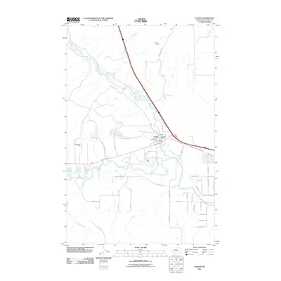
2011 Map of Vaughn
USGS Topo · Published 2011About this map
The Vaughn settlement serves as the focal point of this Cascade County landscape, situated where the meandering Muddy Creek joins the Sun River. This 2011 survey reveals a complex network of water management and agricultural infrastructure, including the Sun River Valley Ditch, Neuman Dam, and Eidel Salo Dam, which together dictate the layout of the surrounding valley. The town center is well-defined by community landmarks such as the Vaughn Post Office, Vaughn Vol Fire Dept, and Vaughn Cemetery. To the southwest, the Fair Haven Colony represents a distinct communal settlement pattern typical of the region. The landscape is further defined by its road network, including family-named routes like Taft Rd and Neuman School Rd, which provide genealogical clues to the families who established the valley's cattle and farming operations.
Find a feature on this map
43 named features on this map. Tap any name to fly to it.
Don’t see what you’re looking for? This feature index may not catch every label — zoom into the map to look around manually.
Map Details
Editions of this 2011 Vaughn Map
This is the sole edition of this map. No revisions or reprints were ever made.
Other maps of this area

1886 · Great Falls
USGS Topo · 1:250,000

1949 · Cascade
USGS Topo · 1:62,500

1949 · Great Falls
USGS Topo · 1:62,500

1949 · Vaughn
USGS Topo · 1:62,500

1951 · Great Falls
USGS Topo · 1:62,500

1951 · Cascade
USGS Topo · 1:62,500

1952 · Vaughn
USGS Topo · 1:62,500

1954 · Great Falls
USGS Topo · 1:250,000

1955 · Gore Hill
USGS Topo · 1:62,500

1957 · Great Falls
USGS Topo · 1:250,000