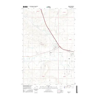
2017 Map of Vaughn
USGS Topo · Published 2017About this map
Vaughn and Sun Prairie serve as the primary hubs in this modern-day landscape where the Sun River and its various tributaries shape the local geography. The area's agricultural and irrigation history is visible through features like the Sun River Valley Ditch, which cuts across the terrain to support local homesteads and ranching operations. The confluence of Muddy Creek with the larger river system near the town center highlights the hydraulic importance of this region to Cascade County's development.
Find a feature on this map
46 named features on this map. Tap any name to fly to it.
Don’t see what you’re looking for? This feature index may not catch every label — zoom into the map to look around manually.
Map Details
Editions of this 2017 Vaughn Map
This is the sole edition of this map. No revisions or reprints were ever made.
Other maps of this area

1886 · Great Falls
USGS Topo · 1:250,000

1949 · Cascade
USGS Topo · 1:62,500

1949 · Great Falls
USGS Topo · 1:62,500

1949 · Vaughn
USGS Topo · 1:62,500

1951 · Great Falls
USGS Topo · 1:62,500

1951 · Cascade
USGS Topo · 1:62,500

1952 · Vaughn
USGS Topo · 1:62,500

1954 · Great Falls
USGS Topo · 1:250,000

1955 · Gore Hill
USGS Topo · 1:62,500

1957 · Great Falls
USGS Topo · 1:250,000