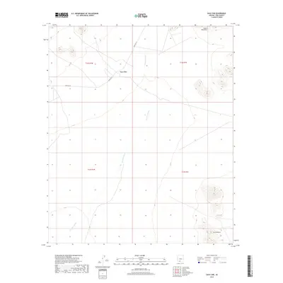
2018 Map of Vaya Chin
USGS Topo · Published 2018About this map
Vaya Chin serves as the central settlement point in this arid stretch of Pima County, situated at the junction of Indian Rte 34 and the ephemeral drainage of the San Simon Wash. The landscape is defined by its basin-and-range topography, where the desert floor is interrupted by the distinct elevations of the Castle Mountains to the north and the Sierra Blanca in the southeastern corner. This modern survey reflects the enduring land patterns of the Tohono O'odham Nation, documenting the intersection of tribal transit routes and natural watercourses. The grid of the Public Land Survey System, including townships t12s r1w and t13s r1e, provides a structural overlay to a region primarily shaped by its desert hydrology and isolated mountain peaks.
Find a feature on this map
9 named features on this map. Tap any name to fly to it.
Don’t see what you’re looking for? This feature index may not catch every label — zoom into the map to look around manually.
Map Details
Editions of this 2018 Vaya Chin Map
This is the sole edition of this map. No revisions or reprints were ever made.
Other maps of this area

1953 · Ajo
USGS Topo · 1:250,000

1957 · Ajo
USGS Topo · 1:250,000

1958 · Ajo
USGS Topo · 1:250,000

1962 · Ajo
USGS Topo · 1:250,000

1963 · Ajo
USGS Topo · 1:250,000

1963 · Gu Achi
USGS Topo · 1:62,500

1963 · Quijotoa Mts
USGS Topo · 1:62,500

1963 · Cimarron Peak
USGS Topo · 1:62,500

1963 · Pisinimo
USGS Topo · 1:62,500

1967 · Ajo
USGS Topo · 1:250,000