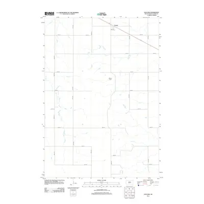
2012 Map of Vayland
USGS Topo · Published 2012About this map
Vayland serves as the primary landmark in this section of Hand County, situated along a diagonal corridor that contrasts with the surrounding rectangular section lines. The landscape is defined by the subtle drainage patterns of E Pearl Cr, Cain Cr, and Silver Cr, which carve through the plains and eventually lead toward the distinctive depression of Majors Gulch. This 2012 survey illustrates a highly organized agricultural grid, with numbered routes like 200th St and 367th Ave segmenting the territory into precise blocks. The intersection of these thoroughfares and the orientation of Angel Dr reflect the long-established township-and-range surveying system, providing a clear view of the rural South Dakota infrastructure in the early 21st century.
Find a feature on this map
20 named features on this map. Tap any name to fly to it.
Don’t see what you’re looking for? This feature index may not catch every label — zoom into the map to look around manually.
Map Details
Editions of this 2012 Vayland Map
This is the sole edition of this map. No revisions or reprints were ever made.
Other maps of this area

1899 · Redfield
USGS Topo · 1:125,000

1949 · Vayland SE
USGS Topo · 1:24,000

1949 · Vayland SW
USGS Topo · 1:24,000

1950 · Vayland
USGS Topo · 1:24,000

1950 · Wessington
USGS Topo · 1:24,000

1950 · Vayland NW
USGS Topo · 1:24,000

1951 · Vayland SW
USGS Topo · 1:24,000

1951 · Wessington SW
USGS Topo · 1:24,000

1951 · Vayland SE
USGS Topo · 1:24,000

1953 · Huron
USGS Topo · 1:250,000