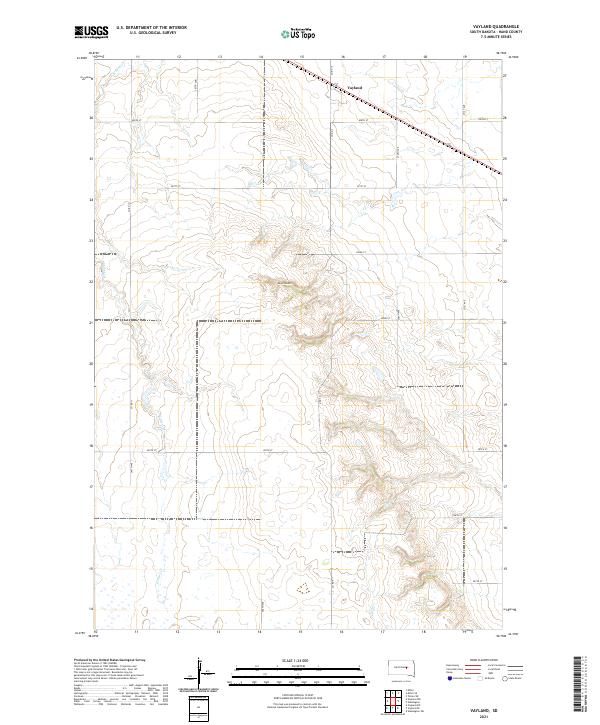
2021 Map of Vayland
USGS Topo · Published 2021About this map
Vayland serves as the primary settlement anchor in this portion of Hand County, situated along the northern corridor of the map. The landscape is defined by the subtle drainage patterns of the northern plains, where E Pearl Cr and Cain Cr wind through the township sections. A significant topographic transition occurs at Majors Gulch, where the terrain breaks from the steady agricultural grid into more complex relief. This 2021 edition provides a clear view of the section lines and county road network, including Co Rd 13 and Co Rd 9, which have long dictated the movement of goods and people through this rural stretch of South Dakota. The convergence of Silver Cr in the south underscores the importance of these seasonal waterways to the local township structure.
Find a feature on this map
25 named features on this map. Tap any name to fly to it.
Don’t see what you’re looking for? This feature index may not catch every label — zoom into the map to look around manually.
Map Details
Editions of this 2021 Vayland Map
This is the sole edition of this map. No revisions or reprints were ever made.
Other maps of this area

1899 · Redfield
USGS Topo · 1:125,000

1949 · Vayland SE
USGS Topo · 1:24,000

1949 · Vayland SW
USGS Topo · 1:24,000

1950 · Vayland
USGS Topo · 1:24,000

1950 · Wessington
USGS Topo · 1:24,000

1950 · Vayland NW
USGS Topo · 1:24,000

1951 · Vayland SW
USGS Topo · 1:24,000

1951 · Wessington SW
USGS Topo · 1:24,000

1951 · Vayland SE
USGS Topo · 1:24,000

1953 · Huron
USGS Topo · 1:250,000