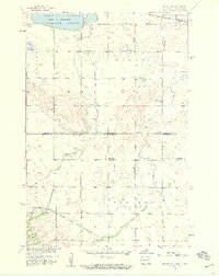
1958 Map of Veblen NE
USGS Topo · Published 1959About this map
The North Dakota South Dakota state line bisects this landscape where the prairie transitions between Sargent and Marshall counties. In the late 1950s, this area was characterized by a rural network of small schools and local landmarks, including Palestina Ch and the Bergen Cem near the eastern edge. The northern portion is dominated by the Tewaukon National Wildlife Refuge, centered around the waters of Tewaukon Lake and the marshy Quant Slough.
Find a feature on this map
18 named features on this map. Tap any name to fly to it.
Don’t see what you’re looking for? This feature index may not catch every label — zoom into the map to look around manually.
Map Details
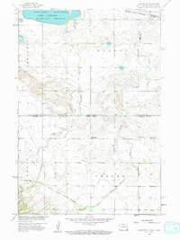
Editions of this 1958 Veblen NE Map
3 editions found
Other maps of this area

1907 · Wyndmere
USGS Topo · 1:125,000

1953 · Milbank
USGS Topo · 1:250,000

1953 · Fargo
USGS Topo · 1:250,000

1956 · Fargo
USGS Topo · 1:250,000

1958 · Milbank
USGS Topo · 1:250,000

1958 · Hillhead
USGS Topo · 1:24,000

1958 · Veblen
USGS Topo · 1:24,000

1958 · Marlow
USGS Topo · 1:24,000

1958 · Veblen NE
USGS Topo · 1:24,000

1958 · Geneseo
USGS Topo · 1:24,000