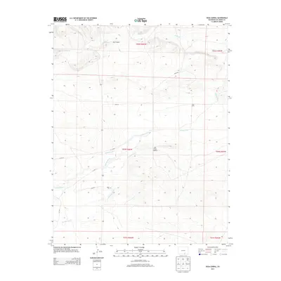
2013 Map of Vega Corral
USGS Topo · Published 2013About this map
Apishapa River flows through the center of this southern Colorado landscape, defining the local irrigation and drainage patterns in a region characterized by mesas and canyons. The map centers on the high plains of Las Animas County, where the historic settlement of Vega Corral and the Valdez Cem reflect the area's ancestral ties and ranching roots. Significant topographical landmarks like The Little Hogback and Jack Canyon dominate the relief, illustrating the transition between the plains and the more complex foothills terrain.
Find a feature on this map
20 named features on this map. Tap any name to fly to it.
Don’t see what you’re looking for? This feature index may not catch every label — zoom into the map to look around manually.
Map Details
Editions of this 2013 Vega Corral Map
This is the sole edition of this map. No revisions or reprints were ever made.
Other maps of this area

1891 · Walsenburg
USGS Topo · 1:125,000

1891 · Spanish Peaks
USGS Topo · 1:125,000

1891 · Apishapa
USGS Topo · 1:125,000

1892 · Elmoro
USGS Topo · 1:125,000

1893 · Spanish Peaks
USGS Topo · 1:125,000

1893 · Apishapa
USGS Topo · 1:125,000

1893 · Elmoro
USGS Topo · 1:125,000

1894 · Walsenburg
USGS Topo · 1:125,000

1895 · Spanish Peaks
USGS Topo · 1:125,000

1897 · Walsenburg
USGS Topo · 1:125,000