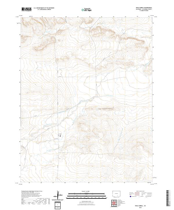
2022 Map of Vega Corral
USGS Topo · Published 2022About this map
Apishapa River winds through this section of Las Animas County, creating a distinct riparian corridor amidst the surrounding drainage systems of Salado Cr and Del Aqua Arroyo. This landscape is defined by the prominent ridge of The Little Hogback and the deep cut of Jack Canyon to the north. For those researching local family history, the Valdez Cem is a significant landmark situated west of the river, accessible via the network of county roads such as Co RD 75 and Co RD 71. Evidence of historical water management appears in the Windowfield Ditch, which follows the contours of the terrain above the river valley. The map clearly delineates the township and range boundaries, including t30s r63w, providing a precise grid for locating specific land parcels and historical homesteads.
Find a feature on this map
22 named features on this map. Tap any name to fly to it.
Don’t see what you’re looking for? This feature index may not catch every label — zoom into the map to look around manually.
Map Details
Editions of this 2022 Vega Corral Map
This is the sole edition of this map. No revisions or reprints were ever made.
Other maps of this area

1891 · Walsenburg
USGS Topo · 1:125,000

1891 · Spanish Peaks
USGS Topo · 1:125,000

1891 · Apishapa
USGS Topo · 1:125,000

1892 · Elmoro
USGS Topo · 1:125,000

1893 · Spanish Peaks
USGS Topo · 1:125,000

1893 · Apishapa
USGS Topo · 1:125,000

1893 · Elmoro
USGS Topo · 1:125,000

1894 · Walsenburg
USGS Topo · 1:125,000

1895 · Spanish Peaks
USGS Topo · 1:125,000

1897 · Walsenburg
USGS Topo · 1:125,000