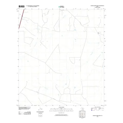
2010 Map of Venado Creek West
USGS Topo · Published 2010About this map
Venado Creek and Dolores Creek dominate this South Texas landscape, carving drainage patterns through the scrublands of Webb County. The presence of Bruni Ranch in the northeast highlights the region's enduring ranching heritage, where large landholdings are defined more by water access and dirt tracks than by dense settlement. A network of rural routes, including Martinena Rd, Guadalupe Rd, and Becerras Rd, provides the primary infrastructure connecting these remote ranch properties. The western edge of the map is clipped by a major north-south interstate corridor, contrasting the high-speed transit of the modern era with the slow-paced, traditional pastoral life that persists along the banks of Jabonciilo Creek.
Find a feature on this map
9 named features on this map. Tap any name to fly to it.
Don’t see what you’re looking for? This feature index may not catch every label — zoom into the map to look around manually.
Map Details
Editions of this 2010 Venado Creek West Map
This is the sole edition of this map. No revisions or reprints were ever made.
Other maps of this area

1929 · Cotulla
USGS Topo · 1:125,000

1953 · Crystal City
USGS Topo · 1:250,000

1955 · Crystal City
USGS Topo · 1:250,000

1956 · Becerra
USGS Topo · 1:62,500

1956 · Webb
USGS Topo · 1:62,500

1956 · Laredo
USGS Topo · 1:250,000

1957 · Encinal
USGS Topo · 1:62,500

1957 · Caiman Creek
USGS Topo · 1:62,500

1961 · Crystal City
USGS Topo · 1:250,000

1968 · Crystal City
USGS Topo · 1:250,000