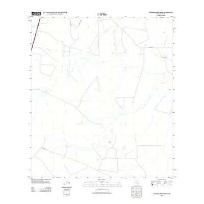
2013 Map of Venado Creek West
USGS Topo · Published 2013About this map
Bruni Ranch stands as a primary landmark in this ranching landscape of Webb County, where seasonal watercourses define the layout of the land. The drainage patterns of Venado Cr, Dolores Cr, and Jaboncillo Cr cut through the South Texas brush country, influencing the placement of the sparse road network. These creek beds, though often dry, remain essential features for understanding the historic and modern land use of this region. Local transit is facilitated by unpaved corridors such as Martineña Rd and Becerras Rd, while Zamora Rd and Guadalupe Rd provide access from the north. This 2013 survey illustrates the enduring rural character of the area, where large property holdings and the natural hydrography continue to shape the human footprint on the terrain.
Find a feature on this map
9 named features on this map. Tap any name to fly to it.
Don’t see what you’re looking for? This feature index may not catch every label — zoom into the map to look around manually.
Map Details
Editions of this 2013 Venado Creek West Map
This is the sole edition of this map. No revisions or reprints were ever made.
Other maps of this area

1929 · Cotulla
USGS Topo · 1:125,000

1953 · Crystal City
USGS Topo · 1:250,000

1955 · Crystal City
USGS Topo · 1:250,000

1956 · Becerra
USGS Topo · 1:62,500

1956 · Webb
USGS Topo · 1:62,500

1956 · Laredo
USGS Topo · 1:250,000

1957 · Encinal
USGS Topo · 1:62,500

1957 · Caiman Creek
USGS Topo · 1:62,500

1961 · Crystal City
USGS Topo · 1:250,000

1968 · Crystal City
USGS Topo · 1:250,000