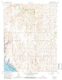
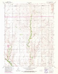
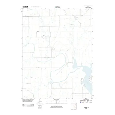
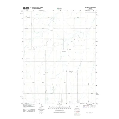
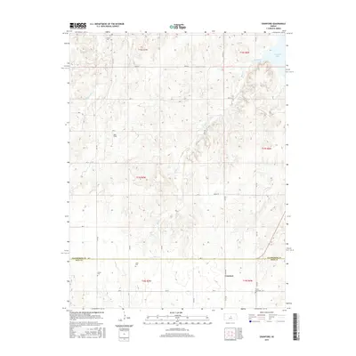
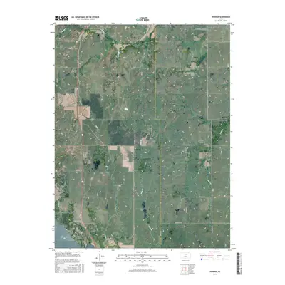
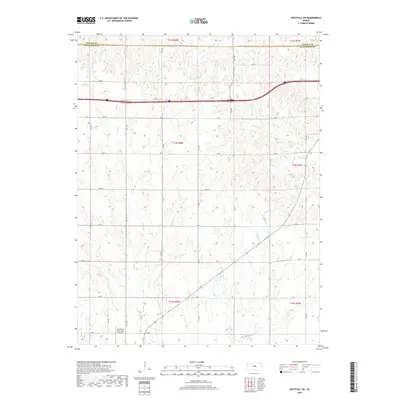
1957 Map of Venango
USGS Topo · Published 1983About this map
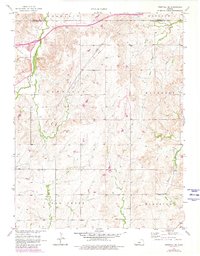
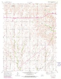
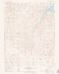
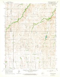
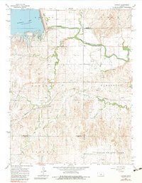
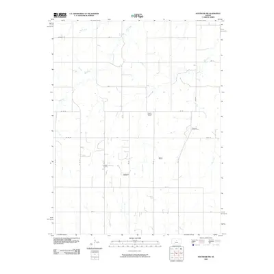
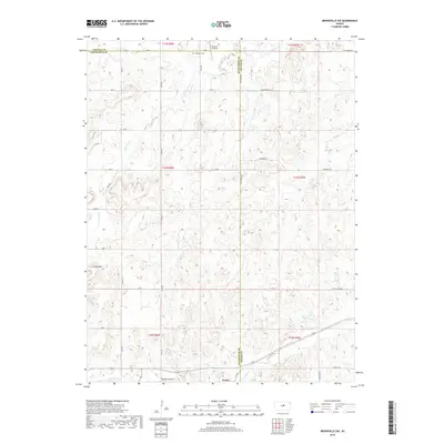
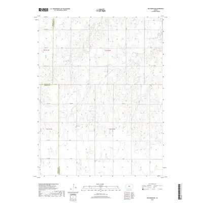
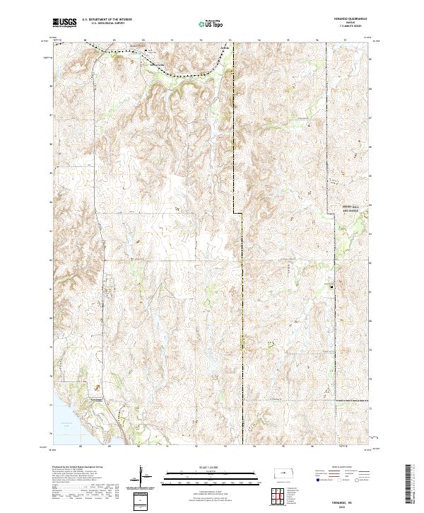
The Union Pacific rail corridor cuts through the northern landscape of this Ellsworth County quadrangle, passing through the small settlements of Terra Cotta and Arcola. This 1957 survey, with updates from the late 1970s, captures a transition in land use, from traditional agricultural plots and cemeteries like Terra Cotta Cem to the sprawling Smoky Hill Air Force Range in the east. The southern portion of the map is dominated by the waters of Kanopolis Lake, showing the infrastructure of the Kanopolis Dam and recreational developments such as the Venango Public Use Area and the Kanopolis Landing Field. Drainage patterns from Spring Creek and Sand Creek define the prairie terrain between the rail line and the reservoir, while prominent landmarks like Buzzard Roost offer a view of the varied topography.
Find a feature on this map
23 named features on this map. Tap any name to fly to it.
Don’t see what you’re looking for? This feature index may not catch every label — zoom into the map to look around manually.
Map Details
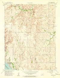
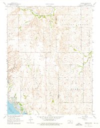
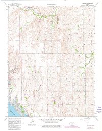
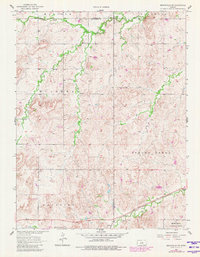
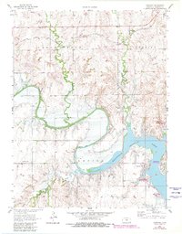
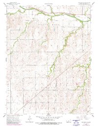
Editions of this 1957 Venango Map
4 editions found
Historical Maps of Terra Cotta Through Time
60 maps found
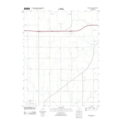
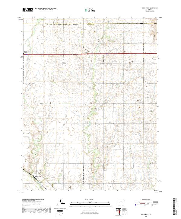
1957 Black Wolf
Ellsworth County, KS
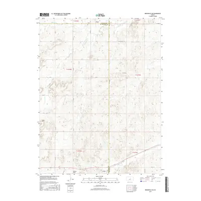
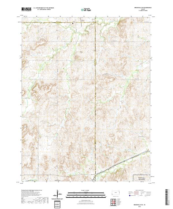
1957 Brookville SW
Ellsworth County, KS
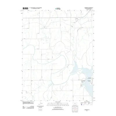
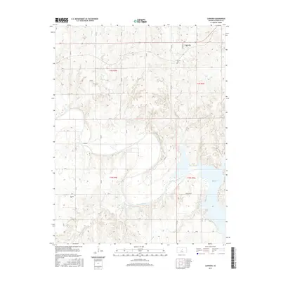
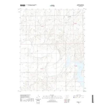
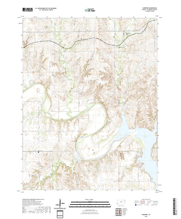
1957 Carneiro
Ellsworth County, KS
1957 Holyrood NE
Ellsworth County, KS
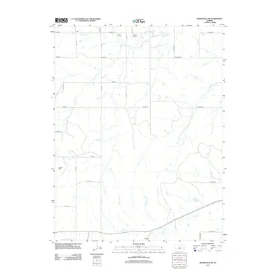
1957 Venango
Ellsworth County, KS
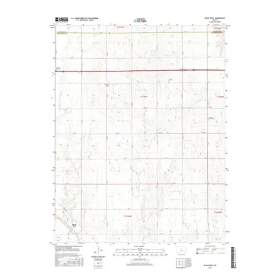
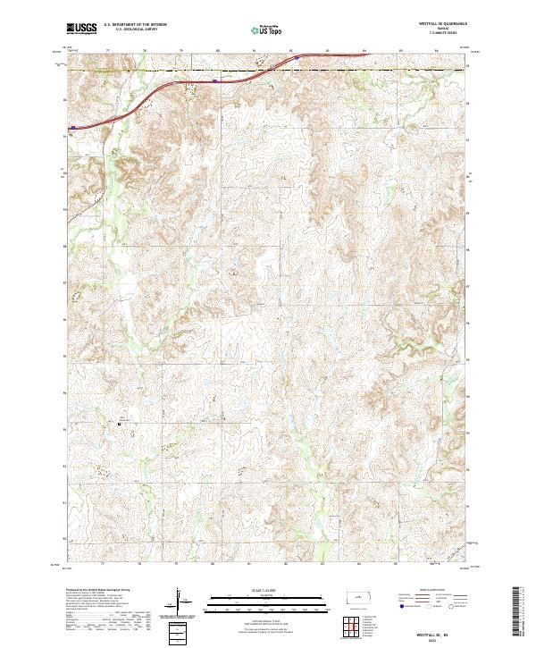
1957 Westfall SE
Ellsworth County, KS
1957 Westfall SW
Ellsworth County, KS
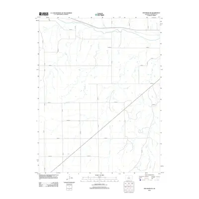
1964 Crawford
Ellsworth County, KS
1964 Holyrood NW
Ellsworth County, KS
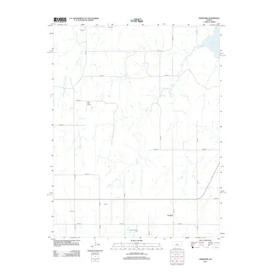
1964 Langley
Ellsworth County, KS
2009 Black Wolf
Ellsworth County, KS
2009 Brookville SW
Ellsworth County, KS
2009 Holyrood NE
Ellsworth County, KS
2009 Holyrood NW
Ellsworth County, KS
2009 Langley
Ellsworth County, KS
2009 Venango
Ellsworth County, KS
2009 Westfall SE
Ellsworth County, KS
2010 Carneiro
Ellsworth County, KS
2010 Crawford
Ellsworth County, KS
2010 Westfall SW
Ellsworth County, KS
2012 Black Wolf
Ellsworth County, KS
2012 Brookville SW
Ellsworth County, KS
2012 Carneiro
Ellsworth County, KS
2012 Crawford
Ellsworth County, KS
2012 Holyrood NE
Ellsworth County, KS
2012 Holyrood NW
Ellsworth County, KS
2012 Langley
Ellsworth County, KS
2012 Venango
Ellsworth County, KS
2012 Westfall SE
Ellsworth County, KS
2012 Westfall SW
Ellsworth County, KS
2015 Black Wolf
Ellsworth County, KS
2015 Brookville SW
Ellsworth County, KS
2015 Carneiro
Ellsworth County, KS
2015 Crawford
Ellsworth County, KS
2015 Holyrood NE
Ellsworth County, KS
2015 Holyrood NW
Ellsworth County, KS
2015 Langley
Ellsworth County, KS
2015 Venango
Ellsworth County, KS
2015 Westfall SE
Ellsworth County, KS
2015 Westfall SW
Ellsworth County, KS
2018 Black Wolf
Ellsworth County, KS
2018 Brookville SW
Ellsworth County, KS
2018 Carneiro
Ellsworth County, KS
2018 Crawford
Ellsworth County, KS
2018 Holyrood NE
Ellsworth County, KS
2018 Holyrood NW
Ellsworth County, KS
2018 Langley
Ellsworth County, KS
2018 Venango
Ellsworth County, KS
2018 Westfall SE
Ellsworth County, KS
2018 Westfall SW
Ellsworth County, KS
2022 Black Wolf
Ellsworth County, KS
2022 Brookville SW
Ellsworth County, KS
2022 Carneiro
Ellsworth County, KS
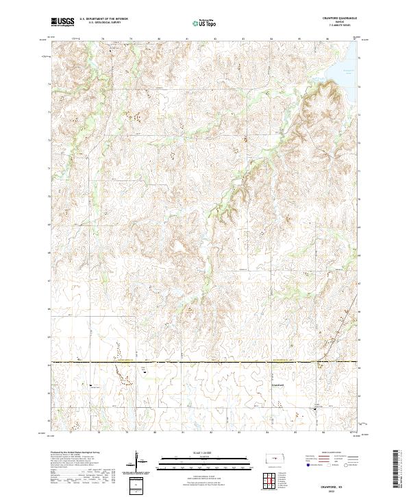
2022 Crawford
Ellsworth County, KS

2022 Holyrood NE
Ellsworth County, KS

2022 Holyrood NW
Ellsworth County, KS
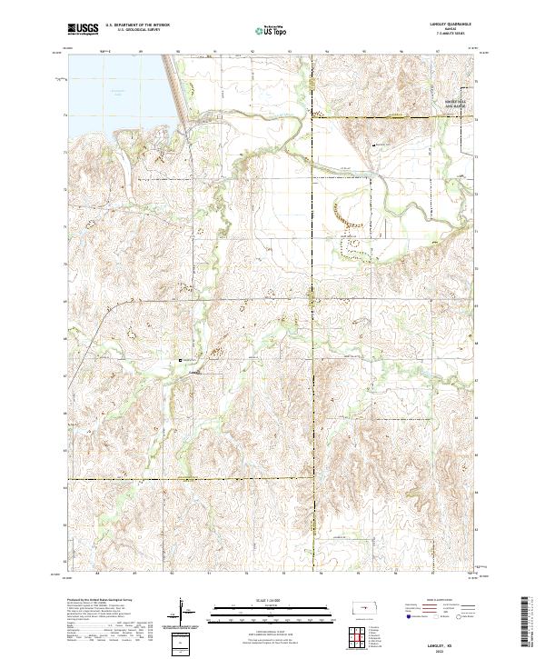
2022 Langley
Ellsworth County, KS
2022 Venango
Ellsworth County, KS
2022 Westfall SE
Ellsworth County, KS
2022 Westfall SW
Ellsworth County, KS