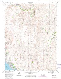
1957 Map of Venango
USGS Topo · Published 1980About this map
Union Pacific rail lines cut through the northern landscape of this region, connecting the small settlements of Terra Cotta and Arcola along the banks of Spring Creek. The map documents a period of significant transition for the local topography, dominated by the presence of Kanopolis Lake and the engineering of the Kanopolis Dam. This reservoir transformed the valley, creating the Kanopolis State Park and the Venango Public Use Area near the village of Venango.
Find a feature on this map
24 named features on this map. Tap any name to fly to it.
Don’t see what you’re looking for? This feature index may not catch every label — zoom into the map to look around manually.
Map Details
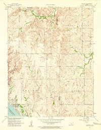
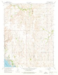
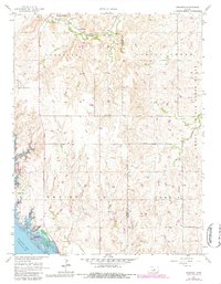
Editions of this 1957 Venango Map
4 editions found
Other maps of this area

1892 · Salina
USGS Topo · 1:125,000

1894 · Ellsworth
USGS Topo · 1:125,000

1942 · Salina
USGS Topo · 1:125,000

1955 · Brookville
USGS Topo · 1:24,000

1955 · Falun
USGS Topo · 1:24,000

1955 · Great Bend
USGS Topo · 1:250,000

1955 · Hutchinson
USGS Topo · 1:250,000

1957 · Great Bend
USGS Topo · 1:250,000

1957 · Brookville SW
USGS Topo · 1:24,000

1957 · Westfall SE
USGS Topo · 1:24,000