
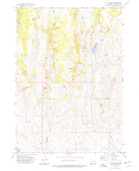
1972 Map of Venator
USGS Topo · Published 1977About this map
Venator and its surrounding ranchlands illustrate the remote livestock and transportation networks of eastern Oregon during the early 1970s. The South Fork Malheur River carves through the landscape, serving as a vital corridor for both the Union Pacific railroad and local cattle operations. This arid environment is defined by its reliance on specific water sources, evidenced by the numerous named improvements such as China Hill Res, Floater Waterhole, and Woodroad Waterhole.
Find a feature on this map
24 named features on this map. Tap any name to fly to it.
Don’t see what you’re looking for? This feature index may not catch every label — zoom into the map to look around manually.
Map Details
Editions of this 1972 Venator Map
This is the sole edition of this map. No revisions or reprints were ever made.
Other maps of this area

1955 · Burns
USGS Topo · 1:250,000

1958 · Burns
USGS Topo · 1:250,000

1959 · Burns
USGS Topo · 1:250,000

1968 · Venator
USGS Topo · 1:62,500
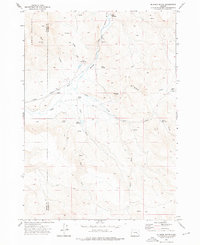
1972 · Mc Ewen Butte
USGS Topo · 1:24,000
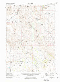
1972 · Stockade Mtn
USGS Topo · 1:62,500

1972 · Circle Bar
USGS Topo · 1:24,000
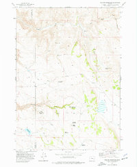
1972 · Venator Reservoir
USGS Topo · 1:24,000
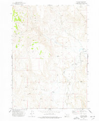
1972 · Dunnean
USGS Topo · 1:24,000
1972 · Tin Can Ridge
USGS Topo · 1:24,000