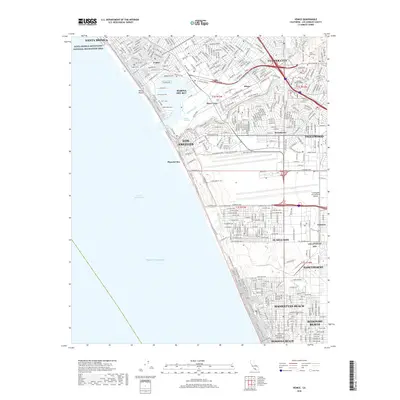
2018 Map of Venice
USGS Topo · Published 2018About this map
Marina Del Rey and the canal-lined streets of Venice anchor this detailed 2018 survey of the Los Angeles coastline. The map documents the high-density urbanization of the Westside, where the Ballona Wetlands and Del Rey Lagoon provide a stark contrast to the surrounding residential blocks of Westchester and Playa del Rey. Near the northern edge, the Santa Monica Mountains National Recreation Area meets the city, while the southern reaches capture the industrial and aerospace character of El Segundo and the Los Angeles Afb.
Find a feature on this map
41 named features on this map. Tap any name to fly to it.
Don’t see what you’re looking for? This feature index may not catch every label — zoom into the map to look around manually.
Map Details
Editions of this 2018 Venice Map
This is the sole edition of this map. No revisions or reprints were ever made.
Other maps of this area

1894 · Los Angeles
USGS Topo · 1:62,500

1896 · Redondo
USGS Topo · 1:62,500

1896 · Santa Monica
USGS Topo · 1:62,500

1898 · Santa Monica
USGS Topo · 1:62,500

1900 · Los Angeles
USGS Topo · 1:62,500

1901 · Southern California Sheet No. 1
USGS Topo · 1:250,000

1902 · Santa Monica
USGS Topo · 1:62,500

1903 · Calabasas
USGS Topo · 1:62,500

1903 · Camulos
USGS Topo · 1:125,000

1904 · Southern California Sheet No. 1
USGS Topo · 1:250,000