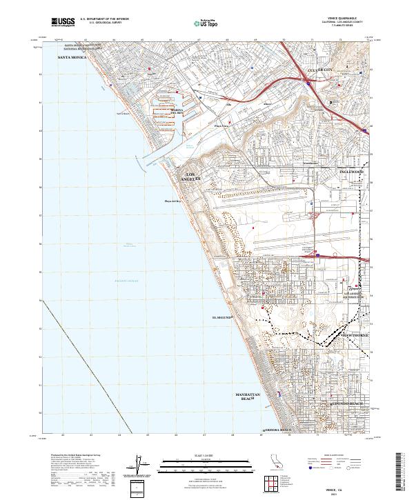
2021 Map of Venice
USGS Topo · Published 2021About this map
The Pacific Ocean coastline dominates this 2021 survey, stretching from the Santa Monica Mountains National Recreation Area south to Hermosa Beach. This modern coastal landscape is defined by its extensive recreation infrastructure, including The Strand and the Ballona Creek Bike Path Trl, which connect the urban core to Santa Monica Bay. The presence of Los Angeles Air Force Base and the Los Angeles International Airport highlights the region's importance as a global transportation and aerospace hub.
Find a feature on this map
49 named features on this map. Tap any name to fly to it.
Don’t see what you’re looking for? This feature index may not catch every label — zoom into the map to look around manually.
Map Details
Editions of this 2021 Venice Map
This is the sole edition of this map. No revisions or reprints were ever made.
Other maps of this area

1894 · Los Angeles
USGS Topo · 1:62,500

1896 · Redondo
USGS Topo · 1:62,500

1896 · Santa Monica
USGS Topo · 1:62,500

1898 · Santa Monica
USGS Topo · 1:62,500

1900 · Los Angeles
USGS Topo · 1:62,500

1901 · Southern California Sheet No. 1
USGS Topo · 1:250,000

1902 · Santa Monica
USGS Topo · 1:62,500

1903 · Calabasas
USGS Topo · 1:62,500

1903 · Camulos
USGS Topo · 1:125,000

1904 · Southern California Sheet No. 1
USGS Topo · 1:250,000