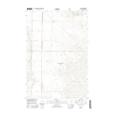
2014 Map of Venlo
USGS Topo · Published 2014About this map
The Sheyenne National Grassland dominates this landscape in Ransom County, where the meandering course of the Sheyenne River cuts through the western portion of the map. This area is characterized by a sparse settlement pattern, with the small community of Venlo situated in the north-central section along the section-line road network. The river crossing at Heaton Bridge serves as a critical local landmark where ND-27 spans the water. To the northeast, the terrain rises toward Pigeon Point, providing a distinct geographic break from the surrounding plains. The map illustrates a strictly organized grid of rural routes, including 140th Ave SE and 67th St SE, which define the agricultural and conservation boundaries of the region.
Find a feature on this map
18 named features on this map. Tap any name to fly to it.
Don’t see what you’re looking for? This feature index may not catch every label — zoom into the map to look around manually.
Map Details
Editions of this 2014 Venlo Map
This is the sole edition of this map. No revisions or reprints were ever made.
Other maps of this area

1895 · Casselton
USGS Topo · 1:125,000

1897 · Tower
USGS Topo · 1:125,000

1897 · Casselton
USGS Topo · 1:125,000

1907 · Wyndmere
USGS Topo · 1:125,000

1953 · Fargo
USGS Topo · 1:250,000

1956 · Fargo
USGS Topo · 1:250,000

1960 · Lisbon SE
USGS Topo · 1:24,000

1960 · Coburn
USGS Topo · 1:24,000

1960 · De Lamere
USGS Topo · 1:24,000

1960 · Lisbon NE
USGS Topo · 1:24,000