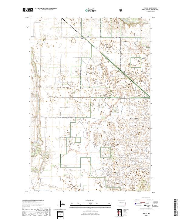
2024 Map of Venlo
USGS Topo · Published 2024About this map
Venlo serves as a central reference point in this portion of Ransom County, where the agricultural grid meets the protected landscape of the Sheyenne National Grassland. The terrain is defined by the winding course of the Sheyenne River, which cuts through the northwest and northeast corners of the quadrangle. A notable geographic feature, Pigeon Point, overlooks the river valley in the north, providing a rare break in the local elevation. The modern recreational footprint is visible through the North Country National Scenic Trl, which meanders across the eastern half of the map, weaving between the protected grasslands and the established township lines. This landscape illustrates the persistent transition between active prairie ranching and conservation areas in eastern North Dakota.
Find a feature on this map
16 named features on this map. Tap any name to fly to it.
Don’t see what you’re looking for? This feature index may not catch every label — zoom into the map to look around manually.
Map Details
Editions of this 2024 Venlo Map
This is the sole edition of this map. No revisions or reprints were ever made.
Other maps of this area

1895 · Casselton
USGS Topo · 1:125,000

1897 · Tower
USGS Topo · 1:125,000

1897 · Casselton
USGS Topo · 1:125,000

1907 · Wyndmere
USGS Topo · 1:125,000

1953 · Fargo
USGS Topo · 1:250,000

1956 · Fargo
USGS Topo · 1:250,000

1960 · Lisbon SE
USGS Topo · 1:24,000

1960 · Coburn
USGS Topo · 1:24,000

1960 · De Lamere
USGS Topo · 1:24,000

1960 · Lisbon NE
USGS Topo · 1:24,000