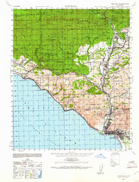
1941 Map of Ventura
USGS Topo · Published 1961About this map
The Ventura River corridor serves as the primary artery for settlement and industry in this 1941 survey, connecting the coastal city of Ventura to the inland communities of Ojai and Meiners Oaks. The map reveals a landscape defined by historic land grants like the Ex Mission San Buenaventura and Canada de San Miguelito, as well as the early tourism economy centered around thermal waters at Matilija Hot Springs and Lyons Hot Springs. Coastal infrastructure is dominated by the Southern Pacific Railroad and the Rincon Sea Level Road, which skirt the edges of the Santa Barbara Channel beneath steep elevations like Rincon Mt. The inclusion of family-named agricultural sites such as Schafer Farm and Hi Park Ranch provides valuable data for genealogists tracing mid-century property ownership in the area.
Find a feature on this map
52 named features on this map. Tap any name to fly to it.
Don’t see what you’re looking for? This feature index may not catch every label — zoom into the map to look around manually.
Map Details
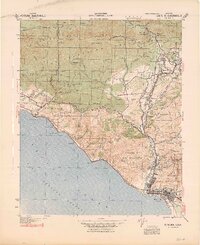
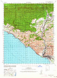
Editions of this 1941 Ventura Map
4 editions found
Other maps of this area

1902 · Santa Ynez
USGS Topo · 1:125,000

1903 · Santa Paula
USGS Topo · 1:62,500

1903 · Mt. Pinos
USGS Topo · 1:125,000

1904 · Ventura
USGS Topo · 1:62,500

1904 · Hueneme
USGS Topo · 1:62,500

1905 · Santa Ynez
USGS Topo · 1:125,000

1941 · Ventura
USGS Topo · 1:62,500

1942 · Santa Paula
USGS Topo · 1:62,500

1942 · Hueneme
USGS Topo · 1:62,500

1942 · Wheeler Springs
USGS Topo · 1:24,000