
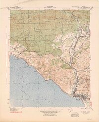
1941 Map of Ventura
USGS Topo · Published 1941About this map
Ventura and the coastal corridor of the early 1940s are captured here during a transitional period for the California coast. This 1941 revision, prepared by the Corps of Engineers, details the complex geography between the Santa Barbara Channel and the steep slopes of the Los Padres National Forest. The map shows a region defined by agricultural ranching, such as Schafer Farm and Hi Park Ranch, and the early development of inland valleys around Ojai.
Find a feature on this map
81 named features on this map. Tap any name to fly to it.
Don’t see what you’re looking for? This feature index may not catch every label — zoom into the map to look around manually.
Map Details
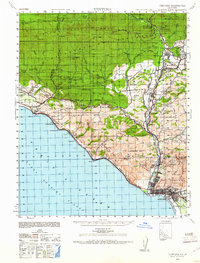
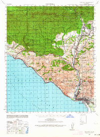
Editions of this 1941 Ventura Map
4 editions found
Other maps of this area

1902 · Santa Ynez
USGS Topo · 1:125,000

1903 · Santa Paula
USGS Topo · 1:62,500

1903 · Mt. Pinos
USGS Topo · 1:125,000

1904 · Ventura
USGS Topo · 1:62,500

1904 · Hueneme
USGS Topo · 1:62,500

1905 · Santa Ynez
USGS Topo · 1:125,000

1942 · Santa Paula
USGS Topo · 1:62,500

1942 · Hueneme
USGS Topo · 1:62,500

1942 · Wheeler Springs
USGS Topo · 1:24,000

1943 · Hueneme
USGS Topo · 1:62,500