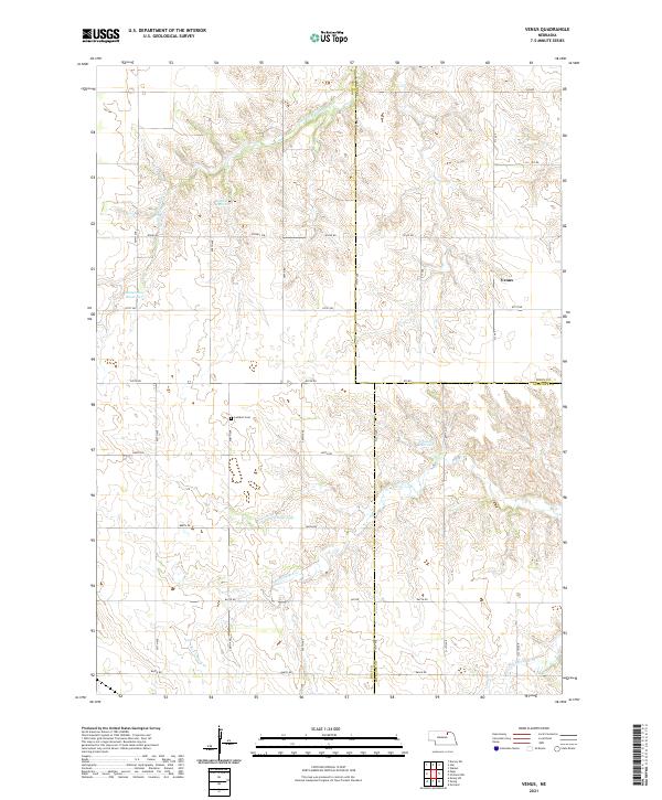
2021 Map of Venus
USGS Topo · Published 2021About this map
Venus serves as the quiet geographic center of this rural landscape, situated at the junction of 512 Ave and 871st Rd. The terrain is defined by the branching drainages of the Verdigre Creek system, including Middle Br Verdigre Cr and S Br Verdigre Cr, which carve intricate patterns across the Holt and Knox county lines. This 2021 survey illustrates a region dominated by agricultural management and water conservation, evidenced by numerous man-made bodies such as Boeller Reservoir, Waterman Reservoir, and Schacht Reservoir. Local history is anchored by the Lambert Cem and several small natural water features like Saltz Lake. The map reveals a strictly gridded section-line road network, such as Co Hwy 108 and 870th Rd, that facilitates movement through this sparsely populated corner of Nebraska.
Find a feature on this map
34 named features on this map. Tap any name to fly to it.
Don’t see what you’re looking for? This feature index may not catch every label — zoom into the map to look around manually.
Map Details
Editions of this 2021 Venus Map
This is the sole edition of this map. No revisions or reprints were ever made.
Other maps of this area

1954 · Walnut
USGS Topo · 1:24,000

1954 · Dorsey SW
USGS Topo · 1:24,000

1954 · Star
USGS Topo · 1:24,000

1955 · O'Neill
USGS Topo · 1:250,000

1958 · Page
USGS Topo · 1:24,000

1959 · O'Neill
USGS Topo · 1:250,000

1963 · Ewing SW
USGS Topo · 1:24,000

1963 · Venus
USGS Topo · 1:24,000

1963 · Orchard
USGS Topo · 1:24,000

1963 · Ewing
USGS Topo · 1:24,000