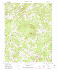
1968 Map of Vera
USGS Topo · Published 1980About this map
The Appomattox Court House National Historical Park anchors the southern landscape of this 1968 survey, marking the historic grounds where the American Civil War effectively ended. Beyond the park boundaries, the terrain is defined by the headwaters of the Appomattox River and the undulating ridges of Piney Mtn and Bald Mtn. The rural character of the region is preserved through numerous small communities and crossroads such as Oakville, Vera, and Wildway.
Find a feature on this map
36 named features on this map. Tap any name to fly to it.
Don’t see what you’re looking for? This feature index may not catch every label — zoom into the map to look around manually.
Map Details
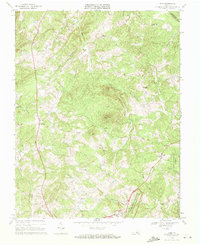
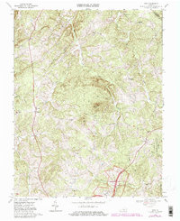
Editions of this 1968 Vera Map
Other maps of this area

1892 · Buckingham
USGS Topo · 1:125,000

1892 · Appomattox
USGS Topo · 1:125,000

1947 · Roanoke
USGS Topo · 1:250,000

1958 · Appomattox
USGS Topo · 1:62,500

1958 · Pamplin City
USGS Topo · 1:62,500

1959 · Roanoke
USGS Topo · 1:250,000

1961 · Shipman
USGS Topo · 1:62,500

1961 · Buckingham
USGS Topo · 1:62,500

1963 · Roanoke
USGS Topo · 1:250,000
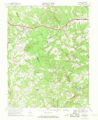
1968 · Concord
USGS Topo · 1:24,000