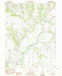
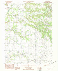
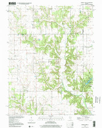
1982 Map of Vera
USGS Topo · Published 1982This historical map portrays the area of Vera in 1982, primarily covering Fayette County. Featuring a scale of 1:24000, this map provides a highly detailed snapshot of the terrain, roads, buildings, counties, and historical landmarks in the Vera region at the time. Published in 1982, it is the sole known edition of this map.
Find a feature on this map
29 named features on this map. Tap any name to fly to it.
Don’t see what you’re looking for? This feature index may not catch every label — zoom into the map to look around manually.
Map Details
Editions of this 1982 Vera Map
This is the sole edition of this map. No revisions or reprints were ever made.
Historical Maps of Fayette County Through Time
10 maps found
1974 Hagarstown
Fayette County, IL
1974 Wildcat Lake
Fayette County, IL
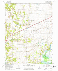
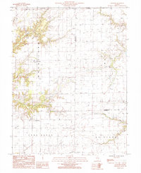
1982 Altamont West
Fayette County, IL
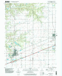
1982 Avena
Fayette County, IL
1982 Vera
Fayette County, IL
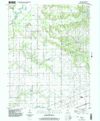
1985 Loogootee
Fayette County, IL
1998 Altamont West
Fayette County, IL
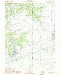
1998 Avena
Fayette County, IL
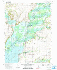
1998 Ramsey Lake
Fayette County, IL
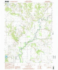
1998 Vera
Fayette County, IL