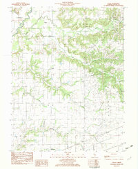
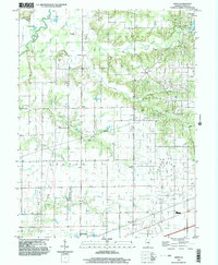
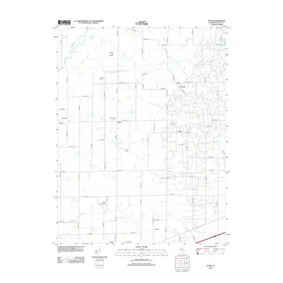
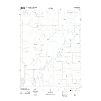
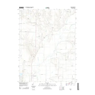
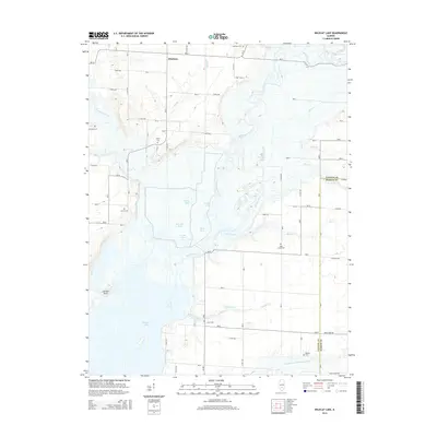
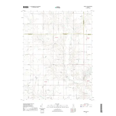
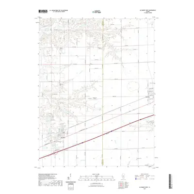
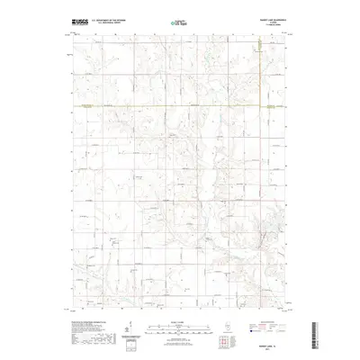
1974 Map of Wildcat Lake
USGS Topo · Published 1991About this map
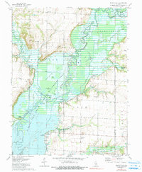
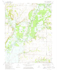
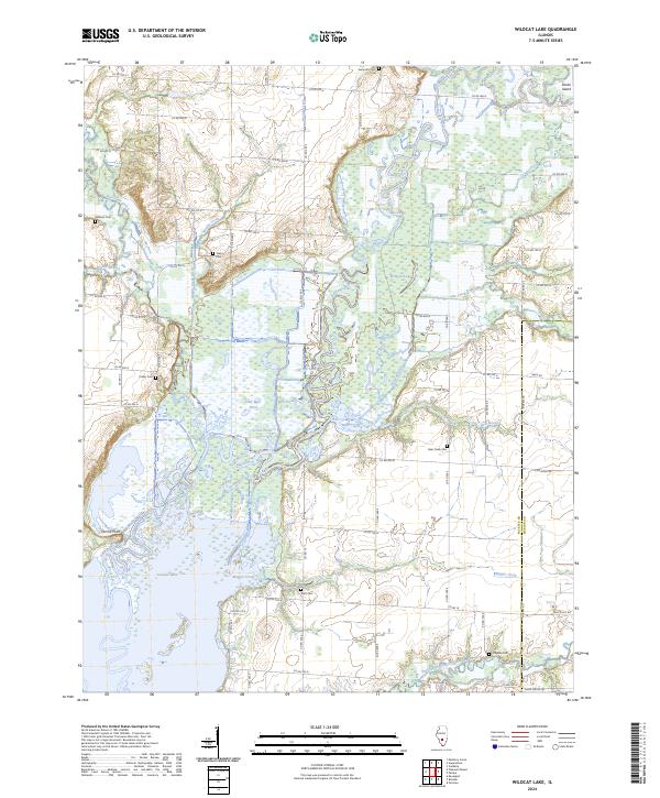
The Kaskaskia River and its intricate network of tributaries and subimpoundments dominate this mid-1970s landscape on the border of Fayette and Marion Counties. This survey illustrates the hydrological transformation of the region, featuring the extensive Carlyle Lake State Wildlife Management Area and numerous ponds like Otter Pond, Half Mile Pond, and Goose Pond. The presence of the Patoka Oil Field in the southeast indicates the local industrial reliance on natural resources, while scattered rural institutions such as Mound Chapel and Columbus Ch point to the area's long-standing community structure. Genealogists will find significant value in the documentation of several family and community burial sites, including Bear Creek Cem, Taylor Cem, and Magassi Cem, many of which sit near the shifting margins of the river's floodplain and the artificial wetlands of Wildcat Lake.
Find a feature on this map
47 named features on this map. Tap any name to fly to it.
Don’t see what you’re looking for? This feature index may not catch every label — zoom into the map to look around manually.
Map Details
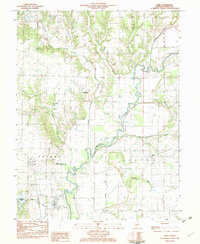
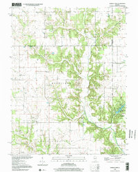
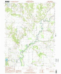
Editions of this 1974 Wildcat Lake Map
2 editions found
Historical Maps of Pittsburg Through Time
45 maps found
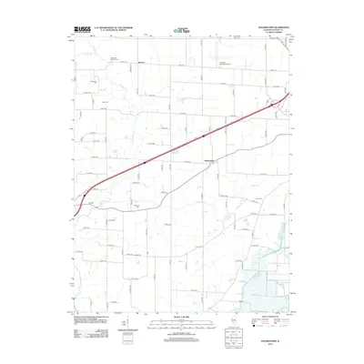
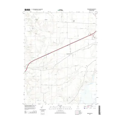
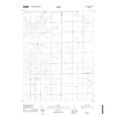
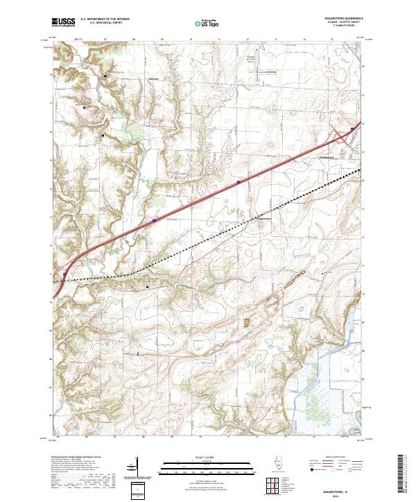
1974 Hagarstown
Fayette County, IL
1974 Wildcat Lake
Fayette County, IL
1982 Altamont West
Fayette County, IL
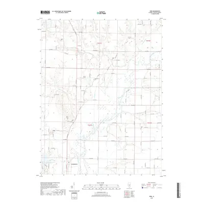
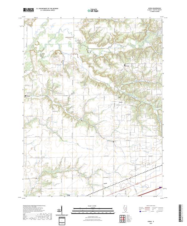
1982 Avena
Fayette County, IL
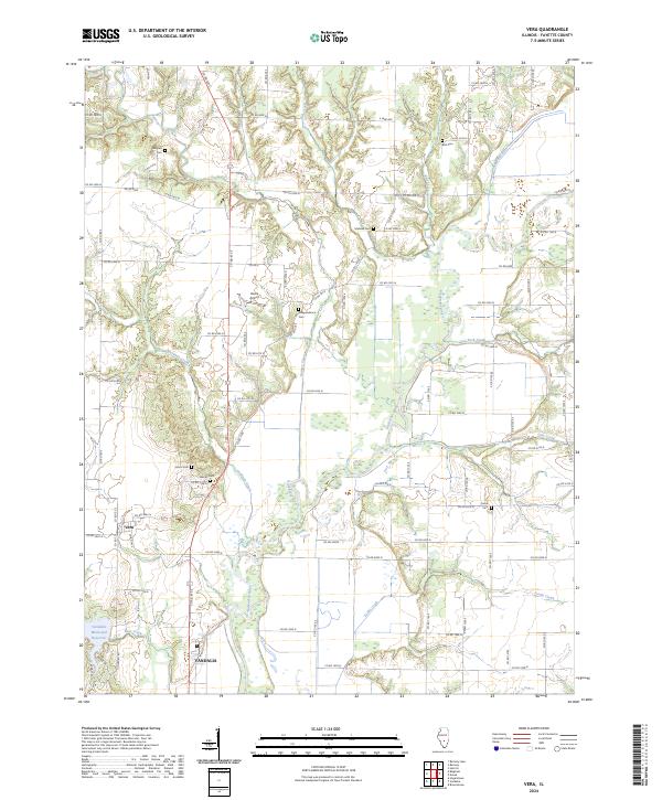
1982 Vera
Fayette County, IL
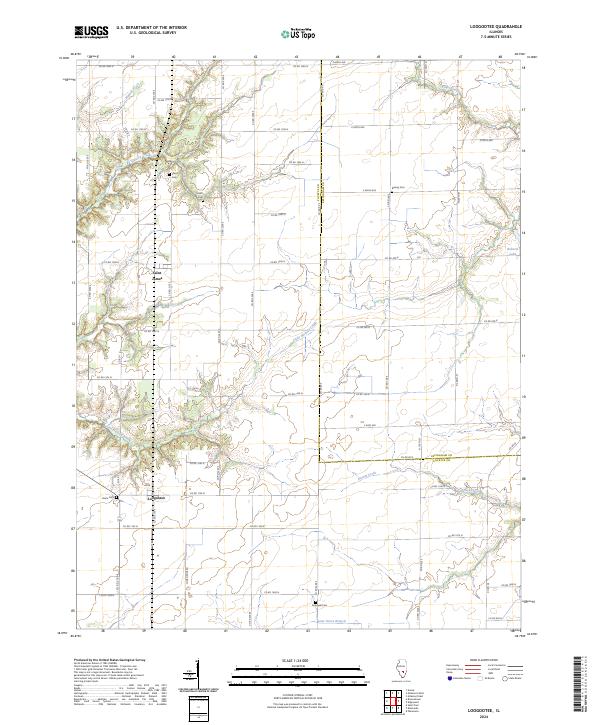
1985 Loogootee
Fayette County, IL
1998 Altamont West
Fayette County, IL
1998 Avena
Fayette County, IL
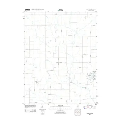
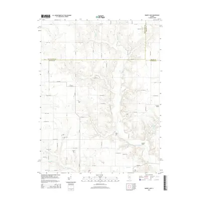
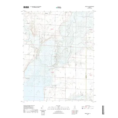
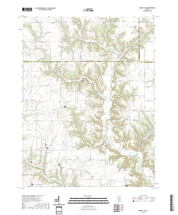
1998 Ramsey Lake
Fayette County, IL
1998 Vera
Fayette County, IL
2012 Altamont West
Fayette County, IL
2012 Avena
Fayette County, IL
2012 Hagarstown
Fayette County, IL
2012 Loogootee
Fayette County, IL
2012 Ramsey Lake
Fayette County, IL
2012 Vera
Fayette County, IL
2012 Wildcat Lake
Fayette County, IL
2015 Altamont West
Fayette County, IL
2015 Avena
Fayette County, IL
2015 Hagarstown
Fayette County, IL
2015 Loogootee
Fayette County, IL
2015 Ramsey Lake
Fayette County, IL
2015 Vera
Fayette County, IL
2015 Wildcat Lake
Fayette County, IL
2018 Altamont West
Fayette County, IL
2018 Avena
Fayette County, IL
2018 Hagarstown
Fayette County, IL
2018 Loogootee
Fayette County, IL
2018 Ramsey Lake
Fayette County, IL
2018 Vera
Fayette County, IL
2018 Wildcat Lake
Fayette County, IL
2021 Altamont West
Fayette County, IL
2021 Avena
Fayette County, IL
2021 Hagarstown
Fayette County, IL
2021 Loogootee
Fayette County, IL
2021 Ramsey Lake
Fayette County, IL
2021 Vera
Fayette County, IL
2021 Wildcat Lake
Fayette County, IL
2024 Altamont West
Fayette County, IL
2024 Avena
Fayette County, IL
2024 Hagarstown
Fayette County, IL
2024 Loogootee
Fayette County, IL
2024 Ramsey Lake
Fayette County, IL
2024 Vera
Fayette County, IL
2024 Wildcat Lake
Fayette County, IL