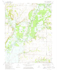
1974 Map of Wildcat Lake
USGS Topo · Published 1977About this map
Carlyle Lake State Wildlife Management Area dominates this mid-1970s landscape, illustrating a complex system of water management and conservation. The map details a significant subimpoundment area designed for flood control and habitat, featuring various water bodies like Otter Pond, Half Mile Pond, and Goose Pond. This managed ecosystem contrasts with the older agricultural and industrial layers of Fayette and Marion counties. To the south, the Patoka Oil Field marks the region's extractive history, while small rural clusters like Pittsburg and Columbus represent the localized settlement pattern of the era.
Find a feature on this map
43 named features on this map. Tap any name to fly to it.
Don’t see what you’re looking for? This feature index may not catch every label — zoom into the map to look around manually.
Map Details
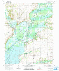
Editions of this 1974 Wildcat Lake Map
2 editions found
Other maps of this area

1910 · Carlyle
USGS Topo · 1:62,500

1914 · Centralia
USGS Topo · 1:62,500

1932 · Greenville
USGS Topo · 1:62,500

1935 · Centralia
USGS Topo · 1:62,500

1939 · Greenville
USGS Topo · 1:62,500

1943 · Greenville
USGS Topo · 1:62,500

1945 · Vandalia
USGS Topo · 1:62,500

1947 · Vandalia
USGS Topo · 1:62,500

1948 · Carlyle
USGS Topo · 1:62,500

1958 · Belleville
USGS Topo · 1:250,000