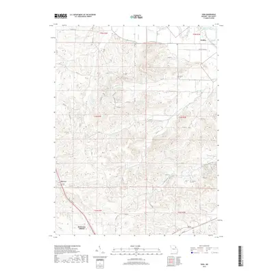
2017 Map of Vera
USGS Topo · Published 2017About this map
Bowling Green anchors the southwestern corner of this landscape, where the flat upland prairie begins to break into the complex drainage networks of central Pike County. This survey illustrates a rural environment defined by small creek systems like Grassy Creek and Cains Creek, which feed eventually toward the Salt River in the northeast. Small, scattered settlements such as Vera, McCune, and Reading serve as landmarks for a region heavily divided by the Public Land Survey System, with township lines clearly demarcating the transition between T54N and T55N.
Find a feature on this map
72 named features on this map. Tap any name to fly to it.
Don’t see what you’re looking for? This feature index may not catch every label — zoom into the map to look around manually.
Map Details
Editions of this 2017 Vera Map
This is the sole edition of this map. No revisions or reprints were ever made.
Other maps of this area

1890 · Louisiana
USGS Topo · 1:125,000

1931 · Barry
USGS Topo · 1:62,500

1932 · Hannibal
USGS Topo · 1:62,500

1936 · Hannibal
USGS Topo · 1:48,000

1936 · Barry
USGS Topo · 1:48,000

1937 · Bowling Green
USGS Topo · 1:62,500

1940 · Bowling Green
USGS Topo · 1:62,500

1943 · Vandalia
USGS Topo · 1:62,500

1944 · Barry
USGS Topo · 1:62,500

1945 · Hannibal
USGS Topo · 1:62,500