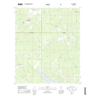
2018 Map of Verda
USGS Topo · Published 2018About this map
Kisatchie National Forest covers much of the northern terrain in this portion of central Louisiana, where the border between Winn Parish and Grant Parish cuts through timberland and creek bottoms. The landscape is defined by a dense network of watercourses, including L'Eau Frete Cr, Fouchmiah Cr, and Dartigo Cr, which eventually drain south toward the expanse of Nantachie Lake. Small settlements like Wheeling, Hargis, and Verda are linked by a web of parish roads and forest routes, reflecting a rural economy tied to the land and the surrounding national forest reserves.
Find a feature on this map
86 named features on this map. Tap any name to fly to it.
Don’t see what you’re looking for? This feature index may not catch every label — zoom into the map to look around manually.
Map Details
Editions of this 2018 Verda Map
This is the sole edition of this map. No revisions or reprints were ever made.
Other maps of this area
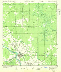
1932 · Colfax SW
USGS Topo · 1:31,680
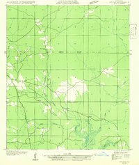
1932 · Colfax NW
USGS Topo · 1:31,680
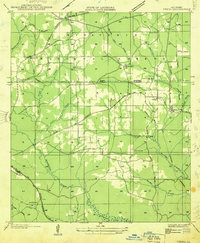
1935 · Verda
USGS Topo · 1:31,680
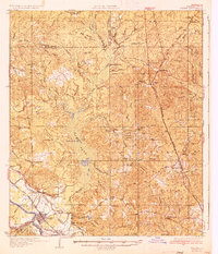
1936 · Colfax
USGS Topo · 1:62,500
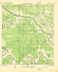
1937 · Aloha
USGS Topo · 1:31,680
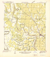
1937 · Montgomery
USGS Topo · 1:62,500
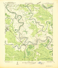
1937 · Cloutierville
USGS Topo · 1:31,680
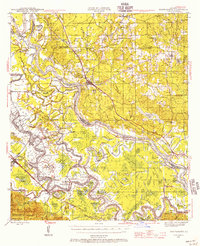
1942 · Montgomery
USGS Topo · 1:62,500
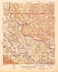
1945 · Montgomery
USGS Topo · 1:62,500
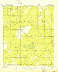
1949 · Calvin SE
USGS Topo · 1:31,680