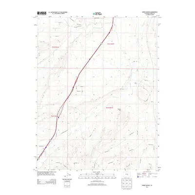
2013 Map of Verde School
USGS Topo · Published 2013About this map
Verde School and the nearby Verde Cem anchor this 2013 landscape in southern Pueblo County, where agricultural infrastructure meets the high plains terrain. The map details a complex network of water management essential to the region's ranching and farming, including the Lamb and Smith Ditch and the Saint Charles Flood Ditch. These man-made channels diverge from natural waterways like the Saint Charles River and Greenhorn Cr to support the local economy.
Find a feature on this map
45 named features on this map. Tap any name to fly to it.
Don’t see what you’re looking for? This feature index may not catch every label — zoom into the map to look around manually.
Map Details
Editions of this 2013 Verde School Map
This is the sole edition of this map. No revisions or reprints were ever made.
Other maps of this area

1891 · Walsenburg
USGS Topo · 1:125,000

1891 · Pueblo
USGS Topo · 1:125,000

1894 · Walsenburg
USGS Topo · 1:125,000

1894 · Pueblo
USGS Topo · 1:125,000

1896 · Pueblo
USGS Topo · 1:125,000

1897 · Pueblo
USGS Topo · 1:125,000

1897 · Walsenburg
USGS Topo · 1:125,000

1900 · Walsenburg
USGS Topo · 1:125,000

1954 · Trinidad
USGS Topo · 1:250,000

1954 · Pueblo
USGS Topo · 1:250,000