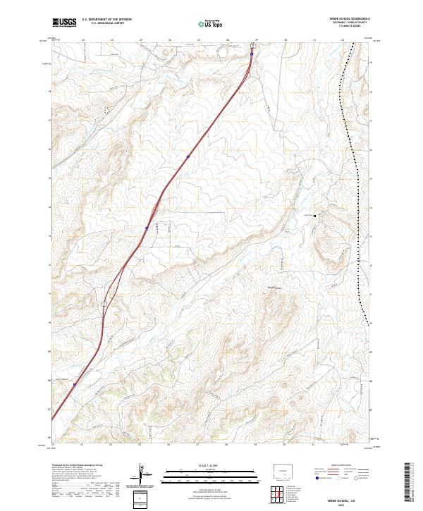
2022 Map of Verde School
USGS Topo · Published 2022About this map
The Saint Charles River and Greenhorn Cr carve through this section of Pueblo County, where high plains topography meets early 21st-century rural development. This landscape is defined by its water management, evidenced by the Saint Charles Flood Ditch and the Lamb and Smith Ditch, which redirect essential flows for agricultural and local use. The presence of the Verde Cem offers a focal point for genealogical research in this sparsely populated area. Landmarks like Maggies Knob and the Stinking Arroyo provide distinctive reference points within the township boundaries of t22s r65w and t23s r65w. A modern network of local roads, such as Hatchet Ranch Rd and Pine Bluff Ln, illustrates the contemporary subdivision of older ranching lands.
Find a feature on this map
53 named features on this map. Tap any name to fly to it.
Don’t see what you’re looking for? This feature index may not catch every label — zoom into the map to look around manually.
Map Details
Editions of this 2022 Verde School Map
This is the sole edition of this map. No revisions or reprints were ever made.
Other maps of this area

1891 · Walsenburg
USGS Topo · 1:125,000

1891 · Pueblo
USGS Topo · 1:125,000

1894 · Walsenburg
USGS Topo · 1:125,000

1894 · Pueblo
USGS Topo · 1:125,000

1896 · Pueblo
USGS Topo · 1:125,000

1897 · Pueblo
USGS Topo · 1:125,000

1897 · Walsenburg
USGS Topo · 1:125,000

1900 · Walsenburg
USGS Topo · 1:125,000

1954 · Trinidad
USGS Topo · 1:250,000

1954 · Pueblo
USGS Topo · 1:250,000