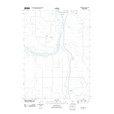
2011 Map of Verdigre NE
USGS Topo · Published 2011About this map
The Niobrara River dominates this Knox County landscape, winding through a complex system of braided channels and sandbars as it nears its confluence. To the west, the protected grounds of Niobrara State Park provide a buffer along the river's edge, while the surrounding tablelands are defined by a strictly surveyed grid of county roads such as 522 Ave and 889 Rd. Evidence of the area's pioneer and cultural history is preserved in several localized burial grounds, including Saint Johns Cemetery near the settlement of Ponca and L'eau Qui Court Cemetery further north.
Find a feature on this map
29 named features on this map. Tap any name to fly to it.
Don’t see what you’re looking for? This feature index may not catch every label — zoom into the map to look around manually.
Map Details
Editions of this 2011 Verdigre NE Map
This is the sole edition of this map. No revisions or reprints were ever made.
Other maps of this area

1950 · Niobrara
USGS Topo · 1:24,000

1950 · Verdel
USGS Topo · 1:24,000

1950 · Verdigre NE
USGS Topo · 1:24,000

1950 · Pishelville
USGS Topo · 1:24,000

1954 · Walnut
USGS Topo · 1:24,000

1954 · Verdigre
USGS Topo · 1:24,000

1955 · Sioux City
USGS Topo · 1:250,000

1955 · O'Neill
USGS Topo · 1:250,000

1958 · Sioux City
USGS Topo · 1:250,000

1959 · O'Neill
USGS Topo · 1:250,000