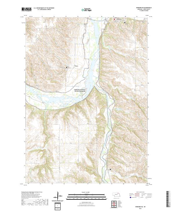
2021 Map of Verdigre NE
USGS Topo · Published 2021About this map
The Missouri National Recreation River and the Niobrara Wild and Scenic River converge in this northeast Nebraska landscape, defining a complex riparian corridor. The settlement of Niobrara sits at the northern edge, near the Leau Qui Court Cem, while the smaller community of Ponca is located further west along 889 RD. This 2021 survey shows a rural interior marked by local water management and agricultural drainage, including the Morrison Canal and the Paesl Reservoir.
Find a feature on this map
32 named features on this map. Tap any name to fly to it.
Don’t see what you’re looking for? This feature index may not catch every label — zoom into the map to look around manually.
Map Details
Editions of this 2021 Verdigre NE Map
This is the sole edition of this map. No revisions or reprints were ever made.
Other maps of this area

1950 · Niobrara
USGS Topo · 1:24,000

1950 · Verdel
USGS Topo · 1:24,000

1950 · Verdigre NE
USGS Topo · 1:24,000

1950 · Pishelville
USGS Topo · 1:24,000

1954 · Walnut
USGS Topo · 1:24,000

1954 · Verdigre
USGS Topo · 1:24,000

1955 · Sioux City
USGS Topo · 1:250,000

1955 · O'Neill
USGS Topo · 1:250,000

1958 · Sioux City
USGS Topo · 1:250,000

1959 · O'Neill
USGS Topo · 1:250,000