
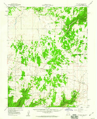
1955 Map of Verdure 2 SE
USGS Topo · Published 1955About this map
Monticello anchors the upper portion of this mid-century preliminary survey, showing the town's early grid and civic landmarks like the High Sch and a Ranger Sta. The landscape drops away from the settlement into a complex network of canyons and plateaus, defined by dramatic features like Boulder Point and Dodge Point. To the south, the smaller settlement of Verdure sits along Verdure Creek, a contrast to the more developed hub at the foot of the Abajo Mountains.
Find a feature on this map
21 named features on this map. Tap any name to fly to it.
Don’t see what you’re looking for? This feature index may not catch every label — zoom into the map to look around manually.
Map Details
Editions of this 1955 Verdure 2 SE Map
This is the sole edition of this map. No revisions or reprints were ever made.
Other maps of this area

1886 · Abajo
USGS Topo · 1:250,000

1892 · Abajo
USGS Topo · 1:250,000

1893 · Abajo
USGS Topo · 1:250,000

1955 · Verdure 4 NW
USGS Topo · 1:24,000

1955 · Verdure 1 SW
USGS Topo · 1:24,000

1955 · Verdure 3 NE
USGS Topo · 1:24,000

1956 · Cortez
USGS Topo · 1:250,000

1957 · Monument Canyon
USGS Topo · 1:62,500

1957 · Blanding
USGS Topo · 1:62,500
1957 · Eastland
USGS Topo · 1:62,500