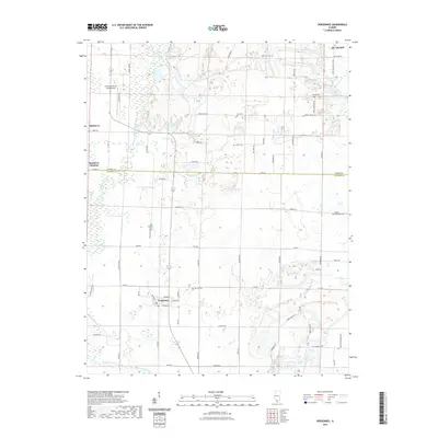
2021 Map of Vergennes
USGS Topo · Published 2021About this map
Beaucoup Creek and its network of tributaries, including Youngs Cr and Walkers Cr, define the drainage patterns of this Perry and Jackson County landscape. The village of Vergennes serves as a central hub, flanked by the smaller settlements of Matthews Junction and Bryden. For genealogists and local historians, the area is notable for several burial grounds, such as the Old Vergennes Cem and the Russian Orthodox Cem near the southern boundary. In the north, the Pinckneyville-Du Quoin Airport represents more modern transit infrastructure alongside a dense grid of rural routes like Zoller Rd and Dowell Rd. The map illustrates a transitional landscape where established rural settlements meet the hydrological features of the Galum Cr and Sixmile Cr basins.
Find a feature on this map
73 named features on this map. Tap any name to fly to it.
Don’t see what you’re looking for? This feature index may not catch every label — zoom into the map to look around manually.
Map Details
Editions of this 2021 Vergennes Map
This is the sole edition of this map. No revisions or reprints were ever made.
Other maps of this area

1910 · Herrin
USGS Topo · 1:62,500

1910 · Murphysboro
USGS Topo · 1:62,500

1924 · Pinckneyville
USGS Topo · 1:62,500

1926 · Pinckneyville
USGS Topo · 1:62,500

1926 · Duquoin
USGS Topo · 1:62,500

1936 · Herrin
USGS Topo · 1:62,500

1938 · Murphysboro
USGS Topo · 1:62,500

1949 · Paducah
USGS Topo · 1:250,000

1950 · Paducah
USGS Topo · 1:250,000

1954 · Paducah
USGS Topo · 1:250,000