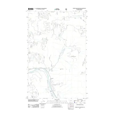
2011 Map of Vermiculite Mountain
USGS Topo · Published 2011About this map
Vermiculite Mountain stands as the central geographical landmark of this Lincoln County survey, illustrating a landscape deeply shaped by industrial and natural forces. The Kootenai River sweeps across the southwestern portion of the sheet, followed closely by the Champion Haul Rd and Lincoln Co Rural Fire Dist Sta 2. This area shows the intersection of local ranching and heavy industry, evidenced by the proximity of Bakker Ranch to the Mitchell Creek Mine and the massive Zonolite Tailings Dam along Rainy Creek.
Find a feature on this map
18 named features on this map. Tap any name to fly to it.
Don’t see what you’re looking for? This feature index may not catch every label — zoom into the map to look around manually.
Map Details
Editions of this 2011 Vermiculite Mountain Map
This is the sole edition of this map. No revisions or reprints were ever made.
Other maps of this area

1920 · Libby
USGS Topo · 1:125,000

1920 · Jennings
USGS Topo · 1:125,000

1930 · Libby
USGS Topo · 1:125,000

1932 · Libby
USGS Topo · 1:125,000

1935 · Thompson Lakes
USGS Topo · 1:96,000

1942 · Thompson Lakes
USGS Topo · 1:125,000

1957 · Kalispell
USGS Topo · 1:250,000

1960 · Kalispell
USGS Topo · 1:250,000

1961 · Kalispell
USGS Topo · 1:250,000

1963 · Vermiculite Mountain
USGS Topo · 1:24,000